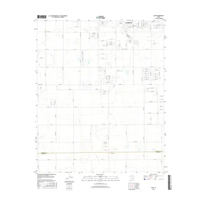
2016 Map of Slide
USGS Topo · Published 2016About this map
Lubbock expands its southern footprint into this landscape, where the structured grid of the city meets the agricultural expanse of the South Plains. The map captures a significant transition zone where residential street names like 104th St and 110th St give way to the numbered county road system. The small settlement of Slide sits further south, acting as a local waypoint within a territory defined by large-scale farming and the dividing line between Lubbock Co and Lynn Co.
Find a feature on this map
108 named features on this map. Tap any name to fly to it.
Don’t see what you’re looking for? This feature index may not catch every label — zoom into the map to look around manually.
Map Details
Editions of this 2016 Slide Map
This is the sole edition of this map. No revisions or reprints were ever made.
Other maps of this area

1954 · Lubbock
USGS Topo · 1:250,000

1954 · Brownfield
USGS Topo · 1:250,000

1957 · Lubbock East
USGS Topo · 1:24,000

1957 · New Home
USGS Topo · 1:62,500

1957 · Lubbock West
USGS Topo · 1:24,000

1957 · Lubbock
USGS Topo · 1:62,500

1957 · Meadow
USGS Topo · 1:62,500

1957 · Wolfforth
USGS Topo · 1:62,500

1958 · Brownfield
USGS Topo · 1:250,000

1962 · Brownfield
USGS Topo · 1:250,000