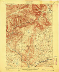
1905 Map of Slide Mountain
USGS Topo · Published 1908About this map
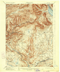
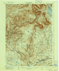
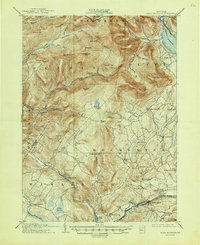
Slide Mountain and the high peaks of the Catskills dominate this early twentieth-century survey, revealing a landscape of steep timbered slopes and narrow valleys before modern reservoir expansion. The terrain is marked by remote outposts like Peekamoose Lodge and high elevation points such as Lone Mountain and Balsam Cap. Along the northern edge, the Ulster and Delaware RR follows the Esopus Creek through Boiceville, while the southern reaches show the New York Ontario and Western RR connecting Wawarsing and Kerhonkson. Small agricultural and milling hamlets like Lackawack, Sundown, and Mombaccus are tucked into the drainages of the Rondout Creek and Vernoy Creek, providing a detailed look at the rural Catskill economy before the mid-century transformation of the region's water systems.
Find a feature on this map
77 named features on this map. Tap any name to fly to it.
Don’t see what you’re looking for? This feature index may not catch every label — zoom into the map to look around manually.
Map Details
Editions of this 1905 Slide Mountain Map
8 editions found

Other maps of this area

1892 · Kaaterskill
USGS Topo · 1:62,500

1893 · Kaaterskill
USGS Topo · 1:62,500

1894 · Kaaterskill
USGS Topo · 1:62,500

1899 · Kaaterskill
USGS Topo · 1:62,500

1900 · Phoenicia
USGS Topo · 1:62,500

1901 · Rosendale
USGS Topo · 1:62,500

1901 · Margaretville
USGS Topo · 1:62,500

1903 · Newburg
USGS Topo · 1:62,500

1903 · Rosendale
USGS Topo · 1:62,500

1903 · Phoenicia
USGS Topo · 1:62,500