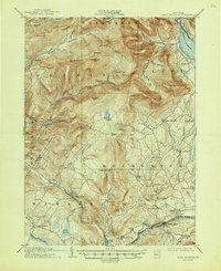
1905 Map of Slide Mountain
USGS Topo · Published 1947About this map
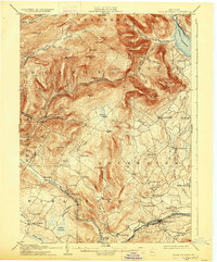
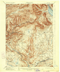
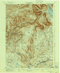
Ashokan Reservoir dominates the northeastern corner of this landscape, its waters captured during a transformative era of regional infrastructure. Surveyed in 1903 and updated in 1912 by the Chief Engineer of the New York City Board of Water Supply, the map reveals the complex terrain between the New York Ontario and Western RR in the south and the high peaks of the Catskills. Numerous small hamlets and landings such as Lackawack, Sundown, and Kerhonkson are connected by a network of creeks and mountain roads, including the isolated Peekamoose Lodge. The topography is defined by the steep drainage of the Rondout Creek and the Neversink Creek, which carve through the high elevations of Slide Mtn and Peekamoose Mtn. This record illustrates the transition from isolated mountain settlements like Yagerville and Mombaccus to a landscape increasingly shaped by large-scale water management projects.
Find a feature on this map
75 named features on this map. Tap any name to fly to it.
Don’t see what you’re looking for? This feature index may not catch every label — zoom into the map to look around manually.
Map Details
Editions of this 1905 Slide Mountain Map
8 editions found

Other maps of this area

1892 · Kaaterskill
USGS Topo · 1:62,500

1893 · Kaaterskill
USGS Topo · 1:62,500

1894 · Kaaterskill
USGS Topo · 1:62,500

1899 · Kaaterskill
USGS Topo · 1:62,500

1900 · Phoenicia
USGS Topo · 1:62,500

1901 · Rosendale
USGS Topo · 1:62,500

1901 · Margaretville
USGS Topo · 1:62,500

1903 · Newburg
USGS Topo · 1:62,500

1903 · Rosendale
USGS Topo · 1:62,500

1903 · Phoenicia
USGS Topo · 1:62,500