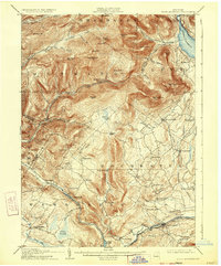
1905 Map of Slide Mountain
USGS Topo · Published 1933About this map
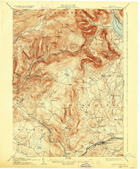
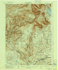
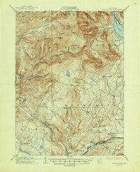
Ashokan Reservoir dominates the northeastern corner of this Catskills region, which was surveyed shortly before the 1912 updates by the Board of Water Supply. The terrain is defined by the high peaks of Slide Mountain and Peekamoose Mountain, shielding narrow valleys where small settlements like Sundown and Lackawack were established. The map documents the early 20th-century transportation network, including the Gulf Road and the Ontario and Western RR winding through the southeastern corridor near Kerhonkson. Diverse water systems including Rondout Creek and the West Branch Neversink Creek converge here, illustrating the complex hydrology that made the area vital for New York's growing water needs. Scattered hamlets like Samsonville and Wawarsing serve as historical anchors in a landscape transitioning between remote wilderness and managed resource.
Find a feature on this map
76 named features on this map. Tap any name to fly to it.
Don’t see what you’re looking for? This feature index may not catch every label — zoom into the map to look around manually.
Map Details
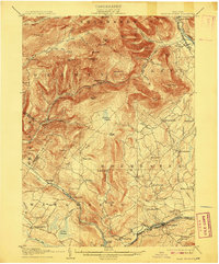
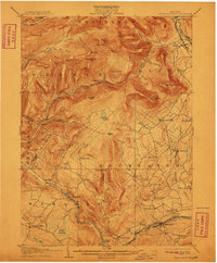
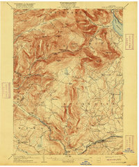
Editions of this 1905 Slide Mountain Map
8 editions found

Other maps of this area

1892 · Kaaterskill
USGS Topo · 1:62,500

1893 · Kaaterskill
USGS Topo · 1:62,500

1894 · Kaaterskill
USGS Topo · 1:62,500

1899 · Kaaterskill
USGS Topo · 1:62,500

1900 · Phoenicia
USGS Topo · 1:62,500

1901 · Rosendale
USGS Topo · 1:62,500

1901 · Margaretville
USGS Topo · 1:62,500

1903 · Newburg
USGS Topo · 1:62,500

1903 · Rosendale
USGS Topo · 1:62,500

1903 · Phoenicia
USGS Topo · 1:62,500