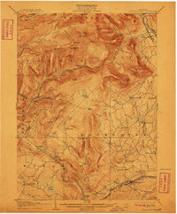
1905 Map of Slide Mountain
USGS Topo · Published 1911About this map
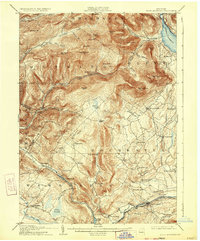
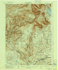
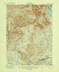
The Catskill Mountains landscape is dominated by the high-elevation peaks of Shandaken and Denning, where Slide Mtn stands as a primary landmark. At this time, the region's economy relied on the New York Ontario and Western RR and the Ulster and Delaware RR, which connected isolated mountain communities to the larger Hudson Valley markets. The map reveals a network of small settlements like Samsonville, Liebhardt, and Yagerville tucked into the valleys of Rondout Creek and Mettacahonts Creek.
Find a feature on this map
76 named features on this map. Tap any name to fly to it.
Don’t see what you’re looking for? This feature index may not catch every label — zoom into the map to look around manually.
Map Details
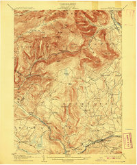
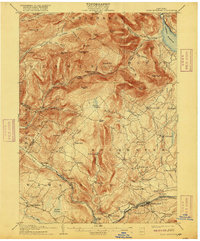
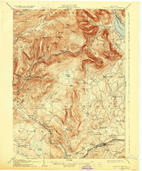
Editions of this 1905 Slide Mountain Map
8 editions found

Other maps of this area

1892 · Kaaterskill
USGS Topo · 1:62,500

1893 · Kaaterskill
USGS Topo · 1:62,500

1894 · Kaaterskill
USGS Topo · 1:62,500

1899 · Kaaterskill
USGS Topo · 1:62,500

1900 · Phoenicia
USGS Topo · 1:62,500

1901 · Rosendale
USGS Topo · 1:62,500

1901 · Margaretville
USGS Topo · 1:62,500

1903 · Newburg
USGS Topo · 1:62,500

1903 · Rosendale
USGS Topo · 1:62,500

1903 · Phoenicia
USGS Topo · 1:62,500