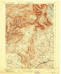
1905 Map of Slide Mountain
USGS Topo · Published 1926About this map
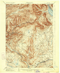
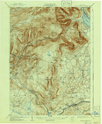
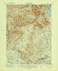
The Ashokan Reservoir dominates the northeastern corner of this Catskill region, representing a transformative era for the Ulster County landscape as the City of New York established its water supply system. This survey documents the area just after the turn of the century, showing the intricate network of peaks like Peekamoose Mtn and Balsam Cap that define the high country between the Shandaken and Denning township lines.
Find a feature on this map
77 named features on this map. Tap any name to fly to it.
Don’t see what you’re looking for? This feature index may not catch every label — zoom into the map to look around manually.
Map Details
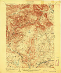
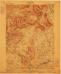
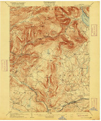
Editions of this 1905 Slide Mountain Map
8 editions found

Other maps of this area

1892 · Kaaterskill
USGS Topo · 1:62,500

1893 · Kaaterskill
USGS Topo · 1:62,500

1894 · Kaaterskill
USGS Topo · 1:62,500

1899 · Kaaterskill
USGS Topo · 1:62,500

1900 · Phoenicia
USGS Topo · 1:62,500

1901 · Rosendale
USGS Topo · 1:62,500

1901 · Margaretville
USGS Topo · 1:62,500

1903 · Newburg
USGS Topo · 1:62,500

1903 · Rosendale
USGS Topo · 1:62,500

1903 · Phoenicia
USGS Topo · 1:62,500