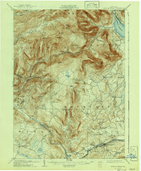
1905 Map of Slide Mountain
USGS Topo · Published 1941About this map
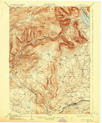
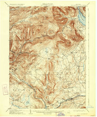
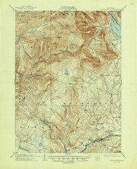
Ashokan Reservoir dominates the northeastern corner of this terrain, its waters managed by the Chief Engineer of the Board of Water Supply. This 1903 survey preserves the landscape just as the reservoir's development began to reshape the local geography, showing settlements like West Shokan and Brodhead along its western banks. The interior is defined by massive peaks including Slide Mtn, Table Mtn, and Peekamoose Mtn, separated by deep hollows like Watson Hollow and Maltby Hollow.
Find a feature on this map
76 named features on this map. Tap any name to fly to it.
Don’t see what you’re looking for? This feature index may not catch every label — zoom into the map to look around manually.
Map Details
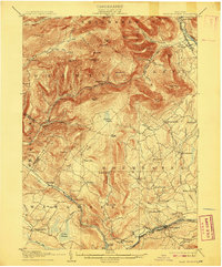
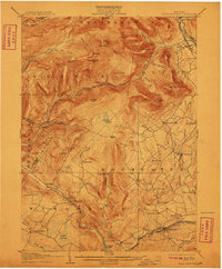
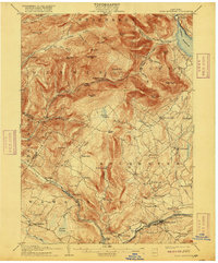
Editions of this 1905 Slide Mountain Map
8 editions found

Other maps of this area

1892 · Kaaterskill
USGS Topo · 1:62,500

1893 · Kaaterskill
USGS Topo · 1:62,500

1894 · Kaaterskill
USGS Topo · 1:62,500

1899 · Kaaterskill
USGS Topo · 1:62,500

1900 · Phoenicia
USGS Topo · 1:62,500

1901 · Rosendale
USGS Topo · 1:62,500

1901 · Margaretville
USGS Topo · 1:62,500

1903 · Newburg
USGS Topo · 1:62,500

1903 · Rosendale
USGS Topo · 1:62,500

1903 · Phoenicia
USGS Topo · 1:62,500