
1905 Map of Slide Mountain
USGS Topo · Published 1905About this map
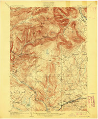
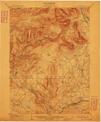
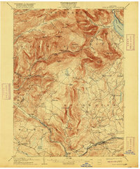
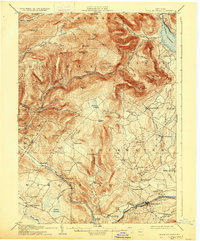
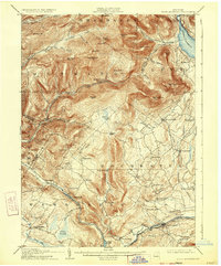
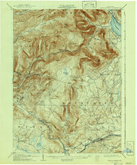
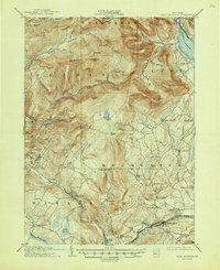
Slide Mtn and the surrounding high peaks of the Catskills dominate this topographic survey, which captures the region's transition from the wilderness heights of Shandaken to the settled valley floors of Rochester and Wawarsing. The 1905 landscape is defined by the steep drainage basins of the Rondout Creek and the West Branch Neversink Creek, where small hamlets like Sundown and Denning sit isolated at the base of summits such as Peekamoose Mtn and Samson Mtn.
Find a feature on this map
81 named features on this map. Tap any name to fly to it.
Don’t see what you’re looking for? This feature index may not catch every label — zoom into the map to look around manually.
Map Details
Editions of this 1905 Slide Mountain Map
8 editions found
Other maps of this area

1892 · Kaaterskill
USGS Topo · 1:62,500

1893 · Kaaterskill
USGS Topo · 1:62,500

1894 · Kaaterskill
USGS Topo · 1:62,500

1899 · Kaaterskill
USGS Topo · 1:62,500

1900 · Phoenicia
USGS Topo · 1:62,500

1901 · Rosendale
USGS Topo · 1:62,500

1901 · Margaretville
USGS Topo · 1:62,500

1903 · Newburg
USGS Topo · 1:62,500

1903 · Rosendale
USGS Topo · 1:62,500

1903 · Phoenicia
USGS Topo · 1:62,500