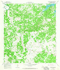
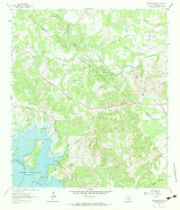
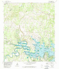
1964 Map of Smithson Valley
USGS Topo · Published 1968This historical map portrays the area of Smithson Valley in 1964, primarily covering Comal County. Featuring a scale of 1:24000, this map provides a highly detailed snapshot of the terrain, roads, buildings, counties, and historical landmarks in the Smithson Valley region at the time. Published in 1968, it is one of 3 known editions of this map due to revisions or reprints.
Find a feature on this map
35 named features on this map. Tap any name to fly to it.
Don’t see what you’re looking for? This feature index may not catch every label — zoom into the map to look around manually.
Map Details
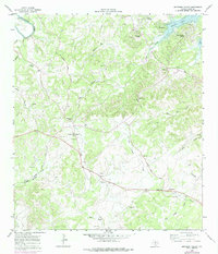
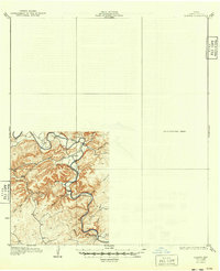
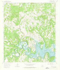
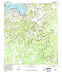
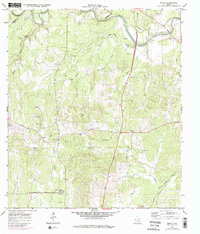
Editions of this 1964 Smithson Valley Map
3 editions found
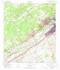
Historical Maps of Comal County Through Time
21 maps found

1920 Smithsons Valley
Comal County, TX

1925 Hunter No 3
Comal County, TX

1925 Smithson Valley No. 1
Comal County, TX

1927 Smithson Valley
Comal County, TX
1929 Hunter
Comal County, TX

1929 Smithson Valley
Comal County, TX

1940 Smithson Valley
Comal County, TX

1953 Bat Cave
Comal County, TX
1958 New Braunfels West
Comal County, TX
1963 Devils Backbone
Comal County, TX
1963 Fischer
Comal County, TX
1963 Sattler
Comal County, TX
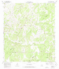
1964 Anhalt
Comal County, TX
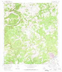
1964 Bergheim
Comal County, TX
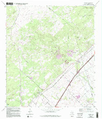
1964 Hunter
Comal County, TX
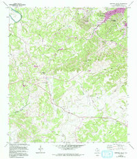
1964 Smithson Valley
Comal County, TX
1967 Bat Cave
Comal County, TX

1988 Bat Cave
Comal County, TX

1988 New Braunfels West
Comal County, TX

1989 Devils Backbone
Comal County, TX
1989 Fischer
Comal County, TX