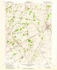
1961 Map of South Charleston
USGS Topo · Published 1963About this map
The Little Miami River and its various forks, including the Lisbon Fork, shape this rural landscape at the intersection of several early townships. Centered on the hub of South Charleston, the region reflects a mid-century agricultural economy tied tightly to its rail infrastructure. The Pennsylvania and Detroit Toledo and Ironton railroads bisect the territory, passing through small settlements like Selma and Dolly Varden. For the local historian, the map reveals a dense network of early burial grounds, such as the Old Quaker Cem and Bloxom Cem, which point to the long-established Quaker and pioneer heritage of these farming communities. While modern transport is present along Old Route 70, many secondary roads like Selma Pike and Nagley Road trace much older property lines and settlement patterns in Greene and Madison counties.
Find a feature on this map
47 named features on this map. Tap any name to fly to it.
Don’t see what you’re looking for? This feature index may not catch every label — zoom into the map to look around manually.
Map Details
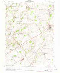
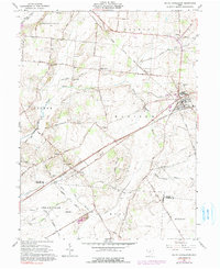
Editions of this 1961 South Charleston Map
3 editions found
Other maps of this area

1904 · Springfield
USGS Topo · 1:62,500

1906 · Springfield
USGS Topo · 1:62,500

1907 · South Charleston
USGS Topo · 1:62,500

1916 · Octa
USGS Topo · 1:62,500

1917 · Xenia
USGS Topo · 1:62,500

1944 · Octa
USGS Topo · 1:62,500

1947 · Columbus
USGS Topo · 1:250,000

1954 · Clifton
USGS Topo · 1:24,000
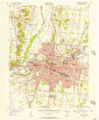
1955 · Springfield
USGS Topo · 1:24,000

1955 · Cedarville
USGS Topo · 1:24,000