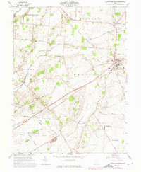
1961 Map of South Charleston
USGS Topo · Published 1975About this map
South Charleston serves as a primary hub in this mid-century portrait of southeastern Clark County, where the Penn Central and Detroit Toledo and Ironton railroads intersect. The landscape is defined by the drainage of the North Fork Little Miami River and Massies Creek, supporting a network of agricultural hamlets and crossroads like Selma, Dolly Varden, and Lisbon.
Find a feature on this map
50 named features on this map. Tap any name to fly to it.
Don’t see what you’re looking for? This feature index may not catch every label — zoom into the map to look around manually.
Map Details
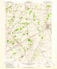
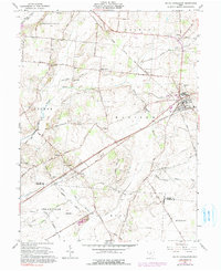
Editions of this 1961 South Charleston Map
3 editions found
Other maps of this area

1904 · Springfield
USGS Topo · 1:62,500

1906 · Springfield
USGS Topo · 1:62,500

1907 · South Charleston
USGS Topo · 1:62,500

1916 · Octa
USGS Topo · 1:62,500

1917 · Xenia
USGS Topo · 1:62,500

1944 · Octa
USGS Topo · 1:62,500

1947 · Columbus
USGS Topo · 1:250,000

1954 · Clifton
USGS Topo · 1:24,000
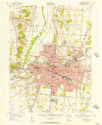
1955 · Springfield
USGS Topo · 1:24,000

1955 · Cedarville
USGS Topo · 1:24,000