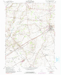
1961 Map of South Charleston
USGS Topo · Published 1991About this map
South Charleston serves as a central hub on this mid-century survey, situated at the intersection of significant rail lines and regional thoroughfares. The landscape is defined by the Little Miami River and the North Fork Massies Creek, with a network of established roads such as Selma Pike and Pitchin Road connecting several smaller settlements. Genealogists and local historians will find value in the documentation of numerous rural burial sites and places of worship, including Lisbon Cem, Buffenbarger Cem, and the Pleasant Grove Ch. The presence of the Detroit Toledo and Ironton and Penn Central railroads illustrates the transportation corridor that sustained these communities. Industrial and agricultural activity is further evidenced by a Gravel Pit and utility infrastructure like the Pumping Sta, reflecting the functional character of the Clark and Greene County borderlands.
Find a feature on this map
43 named features on this map. Tap any name to fly to it.
Don’t see what you’re looking for? This feature index may not catch every label — zoom into the map to look around manually.
Map Details
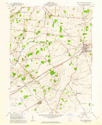
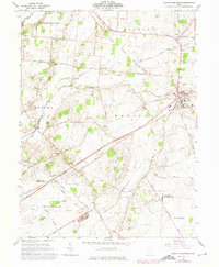
Editions of this 1961 South Charleston Map
3 editions found
Other maps of this area

1904 · Springfield
USGS Topo · 1:62,500

1906 · Springfield
USGS Topo · 1:62,500

1907 · South Charleston
USGS Topo · 1:62,500

1916 · Octa
USGS Topo · 1:62,500

1917 · Xenia
USGS Topo · 1:62,500

1944 · Octa
USGS Topo · 1:62,500

1947 · Columbus
USGS Topo · 1:250,000

1954 · Clifton
USGS Topo · 1:24,000
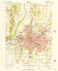
1955 · Springfield
USGS Topo · 1:24,000

1955 · Cedarville
USGS Topo · 1:24,000