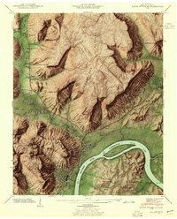
1942 Map of South Pittsburg
USGS Topo · Published 1955About this map
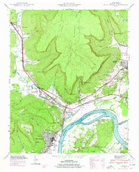
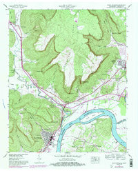
Guntersville Lake and the Tennessee River dominate the southern portion of this landscape, where the Sequatchie River joins the main flow near South Pittsburg. The topography is defined by the steep escarpments of the Cumberland Plateau, featuring prominent landmarks like Castle Rock Point and Roberts Point. This 1942 survey shows a well-established transportation network, with the Dixie Highway and Lee Highway converging near Kimball, while the St Louis and Chattanooga railroad line traces the river's edge.
Find a feature on this map
74 named features on this map. Tap any name to fly to it.
Don’t see what you’re looking for? This feature index may not catch every label — zoom into the map to look around manually.
Map Details
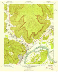
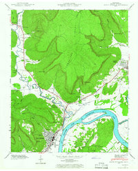
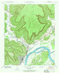
Editions of this 1942 South Pittsburg Map
6 editions found
Other maps of this area

1886 · Stevenson
USGS Topo · 1:125,000

1892 · Stevenson
USGS Topo · 1:125,000

1895 · Stevenson
USGS Topo · 1:125,000

1895 · Sewanee
USGS Topo · 1:125,000

1936 · Shellmound
USGS Topo · 1:24,000

1936 · Orme
USGS Topo · 1:24,000

1936 · Bridgeport
USGS Topo · 1:24,000

1936 · Whitwell
USGS Topo · 1:24,000

1936 · Monteagle
USGS Topo · 1:24,000

1936 · White City
USGS Topo · 1:24,000