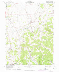
1961 Map of South Salem
USGS Topo · Published 1975About this map
South Salem sits at the heart of this agricultural and upland landscape, where the flat till plains of northern Ross County meet the dissected terrain of Pricer Ridge and Turkey Ridge. The village is a hub for a network of rural roads such as Morton Road and Mt Olive Road, serving the surrounding farmsteads. To the west, the village of Thrifton marks a junction between the Baltimore and Ohio and the Detroit Toledo and Ironton railroads, emphasizing the importance of rail transport for the local grain and livestock economy in the early 1960s.
Find a feature on this map
85 named features on this map. Tap any name to fly to it.
Don’t see what you’re looking for? This feature index may not catch every label — zoom into the map to look around manually.
Map Details
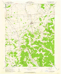
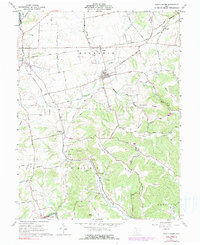
Editions of this 1961 South Salem Map
3 editions found
Other maps of this area

1912 · Roxabell
USGS Topo · 1:62,500

1914 · Roxabell
USGS Topo · 1:62,500

1915 · Bainbridge
USGS Topo · 1:48,000

1915 · Piketon
USGS Topo · 1:62,500

1917 · Bainbridge
USGS Topo · 1:62,500

1917 · Piketon
USGS Topo · 1:62,500

1917 · Greenfield
USGS Topo · 1:62,500

1944 · Piketon
USGS Topo · 1:62,500

1944 · Greenfield
USGS Topo · 1:62,500

1944 · Roxabell
USGS Topo · 1:62,500