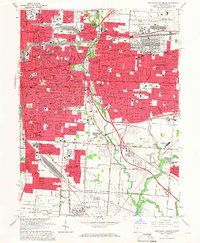
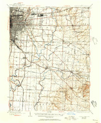
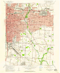
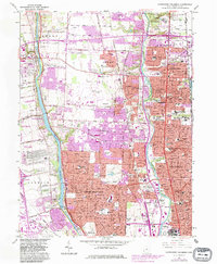
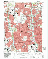
1964 Map of Southeast Columbus
USGS Topo · Published 1966This historical map portrays the area of Southeast Columbus in 1964, primarily covering Franklin County. Featuring a scale of 1:24000, this map provides a highly detailed snapshot of the terrain, roads, buildings, counties, and historical landmarks in the Southeast Columbus region at the time. Published in 1966, it is one of 5 known editions of this map due to revisions or reprints.
Find a feature on this map
74 named features on this map. Tap any name to fly to it.
Don’t see what you’re looking for? This feature index may not catch every label — zoom into the map to look around manually.
Map Details
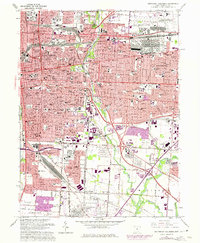
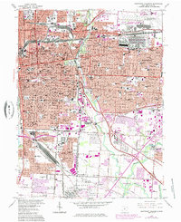
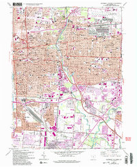
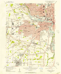
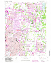
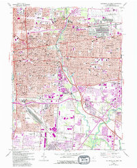
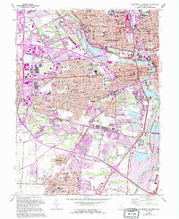
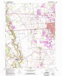
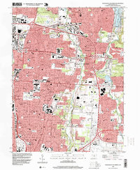
Editions of this 1964 Southeast Columbus Map
5 editions found
Historical Maps of Steelton Through Time
16 maps found

1923 West Columbus
Franklin County, OH
1925 East Columbus
Franklin County, OH

1925 West Columbus
Franklin County, OH

1943 East Columbus
Franklin County, OH
1954 Northeast Columbus
Franklin County, OH
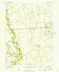
1955 Galloway
Franklin County, OH
1955 Northwest Columbus
Franklin County, OH
1955 Southeast Columbus
Franklin County, OH
1955 Southwest Columbus
Franklin County, OH
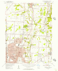
1964 Northeast Columbus
Franklin County, OH
1964 Southeast Columbus
Franklin County, OH
1965 Northwest Columbus
Franklin County, OH
1965 Southwest Columbus
Franklin County, OH
1966 Galloway
Franklin County, OH
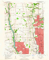
1995 Northeast Columbus
Franklin County, OH
1995 Northwest Columbus
Franklin County, OH