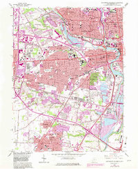
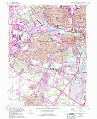
1965 Map of Southwest Columbus
USGS Topo · Published 1982About this map
The Scioto River and Olentangy River converge at the heart of this mid-1960s study, framing a landscape defined by significant institutional and civic landmarks. The central corridor is dominated by the Ohio State Penitentiary, Columbus State Hospital, and the sprawling grounds of Ohio State University, while the region to the west preserves the memory of the Civil War era at Camp Chase Cem. Transportation networks are densely woven throughout, featuring the Baltimore & Ohio RR and Chesapeake & Ohio RR lines that served the industrial and residential growth of Columbus.
Find a feature on this map
56 named features on this map. Tap any name to fly to it.
Don’t see what you’re looking for? This feature index may not catch every label — zoom into the map to look around manually.
Map Details
Editions of this 1965 Southwest Columbus Map
5 editions found
Other maps of this area

1901 · Dublin
USGS Topo · 1:62,500

1902 · Westerville
USGS Topo · 1:62,500

1903 · Dublin
USGS Topo · 1:62,500

1904 · Westerville
USGS Topo · 1:62,500

1923 · West Columbus
USGS Topo · 1:62,500

1925 · East Columbus
USGS Topo · 1:62,500

1925 · West Columbus
USGS Topo · 1:62,500

1943 · East Columbus
USGS Topo · 1:62,500

1947 · Columbus
USGS Topo · 1:250,000

1950 · Marion
USGS Topo · 1:250,000