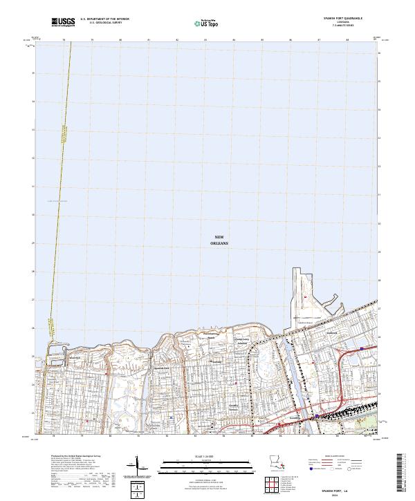
2024 Map of Spanish Fort
USGS Topo · Published 2024About this map
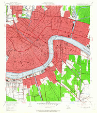
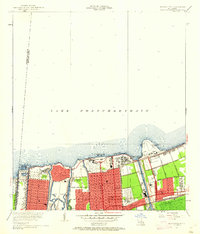
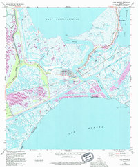
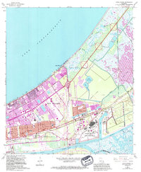
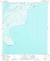
Lake Pontchartrain defines the northern edge of this urban survey, where the southern shore is marked by a dense grid of residential and institutional developments in northern New Orleans. The area shows a specialized landscape of educational and religious centers, featuring the University of New Orleans and the Southern Baptist Theological Seminary. Historically significant neighborhoods such as Milneburg and Spanish Fort transition from the shoreline into the interior, while the eastern edge is dominated by the industrial and transport infrastructure of the Inner Harbor Navigation Canal and Lakefront Airport. Toward the south, the terrain follows the Gentilly Ridge, where local history is anchored by a cluster of dedicated spaces including Beth Israel Cem, Sholem Cem, and Hebrew Rest Cem. This modern record reveals how the city’s residential expansion has integrated with natural features like Scout Island and Demourelles Island.
Find a feature on this map
93 named features on this map. Tap any name to fly to it.
Don’t see what you’re looking for? This feature index may not catch every label — zoom into the map to look around manually.
Map Details
Editions of this 2024 Spanish Fort Map
This is the sole edition of this map. No revisions or reprints were ever made.
Historical Maps of New Orleans Through Time
36 maps found
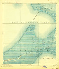
1892 Chef Menteur
Orleans Parish, LA

1932 New Orleans NE
Orleans Parish, LA

1936 Chef Menteur
Orleans Parish, LA

1936 South Point
Orleans Parish, LA

1937 Chef Menteur
Orleans Parish, LA

1938 Little Woods
Orleans Parish, LA

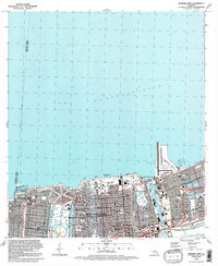
1938 Spanish Fort
Orleans Parish, LA

1939 New Orleans East
Orleans Parish, LA

1943 Little Woods
Orleans Parish, LA

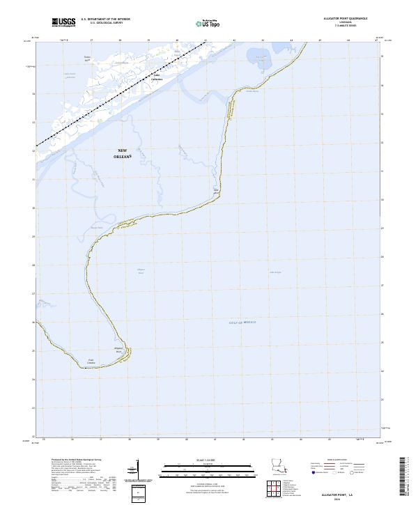
1949 Alligator Point
Orleans Parish, LA
1951 Chef Menteur
Orleans Parish, LA
1951 Little Woods
Orleans Parish, LA
1951 New Orleans East
Orleans Parish, LA

1951 South Point
Orleans Parish, LA
1951 Spanish Fort
Orleans Parish, LA
1956 Alligator Point
Orleans Parish, LA
1965 Spanish Fort
Orleans Parish, LA

1966 New Orleans East
Orleans Parish, LA
1967 Chef Menteur
Orleans Parish, LA
1967 Little Woods
Orleans Parish, LA
1967 South Point
Orleans Parish, LA
1968 Alligator Point
Orleans Parish, LA

1969 Chef Menteur
Orleans Parish, LA

1992 New Orleans East
Orleans Parish, LA
1992 Spanish Fort
Orleans Parish, LA

1994 Alligator Point
Orleans Parish, LA

1998 Chef Menteur
Orleans Parish, LA

1998 Little Woods
Orleans Parish, LA

1998 New Orleans East
Orleans Parish, LA

1999 Spanish Fort
Orleans Parish, LA
2024 Alligator Point
Orleans Parish, LA
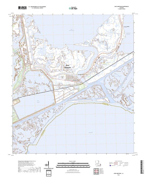
2024 Chef Menteur
Orleans Parish, LA
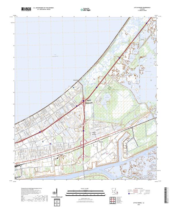
2024 Little Woods
Orleans Parish, LA
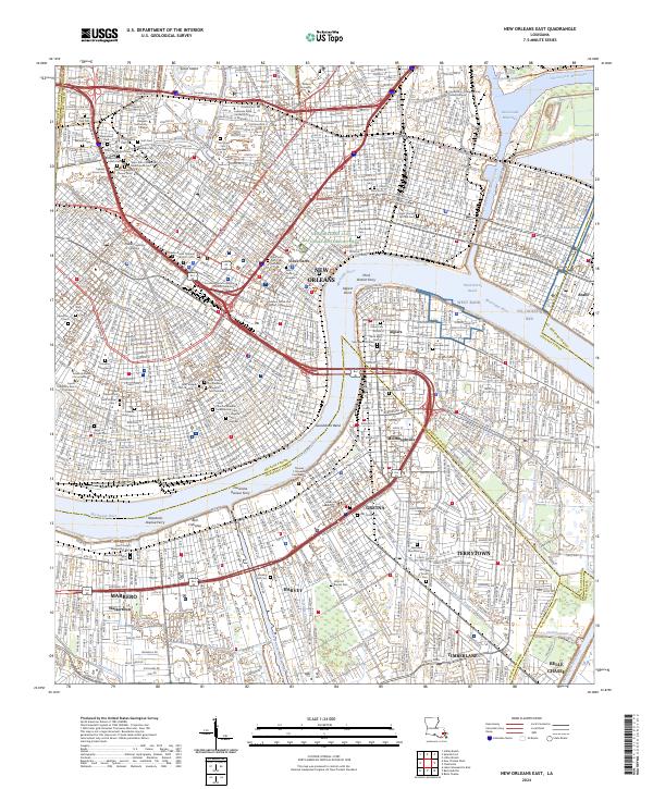
2024 New Orleans East
Orleans Parish, LA
2024 South Point
Orleans Parish, LA
2024 Spanish Fort
Orleans Parish, LA