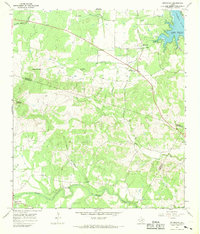
1967 Map of Spicewood
USGS Topo · Published 1969About this map
The Colorado River landscape of the Texas Hill Country is captured here during a transitional era of water management and rural development. The reservoir known as Lake Travis dominates the northeast corner, with several areas marked as subject to controlled inundation along the Turkey Bend shoreline. These changing water levels redefined the local geography, affecting historic crossings and landmarks near Spicewood.
Find a feature on this map
24 named features on this map. Tap any name to fly to it.
Don’t see what you’re looking for? This feature index may not catch every label — zoom into the map to look around manually.
Map Details
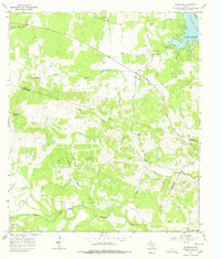
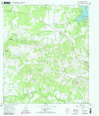
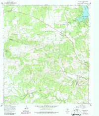
Editions of this 1967 Spicewood Map
4 editions found
Other maps of this area

1887 · Blanco
USGS Topo · 1:125,000

1887 · Burnet
USGS Topo · 1:125,000

1893 · Burnet
USGS Topo · 1:125,000

1894 · Blanco
USGS Topo · 1:125,000

1903 · Burnet
USGS Topo · 1:125,000

1909 · Burnet
USGS Topo · 1:125,000

1925 · Burnet 3-d
USGS Topo · 1:48,000

1929 · Marble Falls
USGS Topo · 1:62,500

1930 · Blanco-1
USGS Topo · 1:48,000

1932 · Marble Falls
USGS Topo · 1:62,500