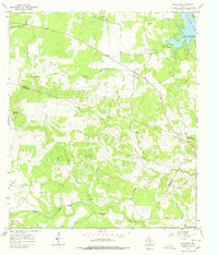
1967 Map of Spicewood
USGS Topo · Published 1978About this map
Colorado River waters define the northern reaches of this Hill Country landscape, pooling into Lake Travis at Turkey Bend. This 1967 field-checked survey captures the transition from high plateau country to the river basin, marked by the prominent elevations of Cedar Mountain and Shovel Mountain. The settlement of Spicewood serves as a local hub near the Highway Seventyone Ch, while the southern reaches follow the meandering course of Cypress Creek toward Cypress Mill.
Find a feature on this map
27 named features on this map. Tap any name to fly to it.
Don’t see what you’re looking for? This feature index may not catch every label — zoom into the map to look around manually.
Map Details
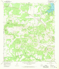
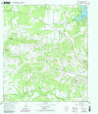
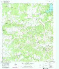
Editions of this 1967 Spicewood Map
4 editions found
Other maps of this area

1887 · Blanco
USGS Topo · 1:125,000

1887 · Burnet
USGS Topo · 1:125,000

1893 · Burnet
USGS Topo · 1:125,000

1894 · Blanco
USGS Topo · 1:125,000

1903 · Burnet
USGS Topo · 1:125,000

1909 · Burnet
USGS Topo · 1:125,000

1925 · Burnet 3-d
USGS Topo · 1:48,000

1929 · Marble Falls
USGS Topo · 1:62,500

1930 · Blanco-1
USGS Topo · 1:48,000

1932 · Marble Falls
USGS Topo · 1:62,500