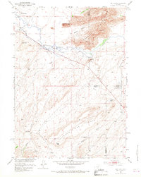
1951 Map of Split Rock
USGS Topo · Published 1968About this map
The Granite Mountains dominate this high-desert landscape in central Wyoming, where the Sweetwater River carves a path through distinctive geological formations. A clear picture of mid-century ranching life emerges through the locations of the McIntosh Ranch, Hat Ranch, and Split Rock Ranch, which anchor the irrigation-dependent valley. The presence of the Split Rock School and landmarks like the Great Stone Face suggest a small but established community centered around the river corridor.
Find a feature on this map
32 named features on this map. Tap any name to fly to it.
Don’t see what you’re looking for? This feature index may not catch every label — zoom into the map to look around manually.
Map Details
Editions of this 1951 Split Rock Map
4 editions found
Other maps of this area

1951 · Bucklin Reservoirs
USGS Topo · 1:24,000

1951 · Lone Mountain
USGS Topo · 1:24,000

1951 · Black Rock Gap
USGS Topo · 1:24,000

1951 · Split Rock
USGS Topo · 1:24,000

1951 · Split Rock NW
USGS Topo · 1:24,000

1951 · Lankin Dome
USGS Topo · 1:24,000

1955 · Casper
USGS Topo · 1:250,000

1958 · Casper
USGS Topo · 1:250,000

1962 · Casper
USGS Topo · 1:250,000

1962 · Whiskey Peak
USGS Topo · 1:24,000