
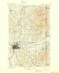
1901 Map of Spokane
USGS Topo · Published 1901About this map
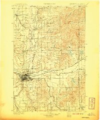
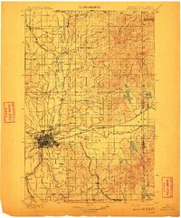
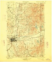
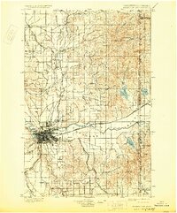
Spokane serves as the bustling hub of this turn-of-the-century landscape, a city defined by its dense rail network and proximity to Ft. Wright. This era of rapid growth is evidenced by the convergence of the Great Northern R. R., Northern Pacific R. R., and the Spokane Falls and Northern R. R., all weaving through the valley. The map details established neighborhoods like Lidgerwood and Hillyard, alongside surrounding agrarian expanses such as Peone Prairie and Fivemile Prairie.
Find a feature on this map
62 named features on this map. Tap any name to fly to it.
Don’t see what you’re looking for? This feature index may not catch every label — zoom into the map to look around manually.
Map Details
Editions of this 1901 Spokane Map
6 editions found
Other maps of this area

1901 · Sandpoint
USGS Topo · 1:125,000

1903 · Oakesdale
USGS Topo · 1:125,000

1903 · Rathdrum
USGS Topo · 1:125,000

1905 · Oakesdale
USGS Topo · 1:125,000

1911 · Priest Lake
USGS Topo · 1:250,000

1911 · Sandpoint
USGS Topo · 1:125,000

1913 · Priest Lake
USGS Topo · 1:250,000

1927 · Chewelah
USGS Topo · 1:125,000

1930 · Chewelah
USGS Topo · 1:125,000

1936 · Newport
USGS Topo · 1:96,000