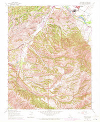
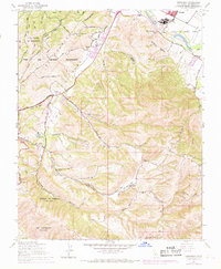
1947 Map of Spreckels
USGS Topo · Published 1972About this map
The Salinas River valley and the rugged interior of the Monterey Peninsula dominate this 1940s landscape, just before the post-war expansion began to reshape the region. The industrial character of Spreckels is anchored by the Southern Pacific rail line and several settling ponds, while the surrounding hillsides are defined by large land grants and ranching estates. Significant portions of the northwestern terrain are occupied by the Fort Ord Military Reservation, showing early access roads like Skyline Road and Guidotti Road. To the south, the map documents historical property boundaries such as Corral de Tierra (Mc Cobb) and Los Laurelles (Beronda). These names reflect the area's transition from Spanish-era land grants to mid-century California agricultural and military use, centered around family-held lands like the Bingaman Ranch and Guidotti Ranch.
Find a feature on this map
38 named features on this map. Tap any name to fly to it.
Don’t see what you’re looking for? This feature index may not catch every label — zoom into the map to look around manually.
Map Details
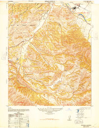
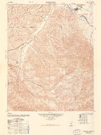
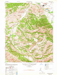
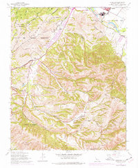
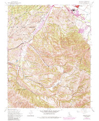
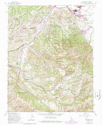
Editions of this 1947 Spreckels Map
8 editions found
Other maps of this area

1910 · Salinas
USGS Topo · 1:31,680

1912 · Salinas
USGS Topo · 1:62,500

1913 · Monterey
USGS Topo · 1:62,500

1918 · Point Sur
USGS Topo · 1:62,500

1920 · Jamesburg
USGS Topo · 1:48,000

1921 · Jamesburg
USGS Topo · 1:62,500

1925 · Point Sur
USGS Topo · 1:62,500

1939 · Jamesburg
USGS Topo · 1:62,500

1940 · Salinas
USGS Topo · 1:62,500

1940 · Jamesburg
USGS Topo · 1:62,500