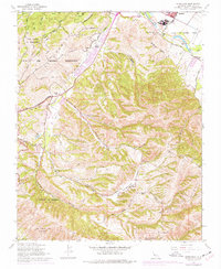
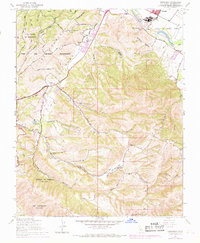
1947 Map of Spreckels
USGS Topo · Published 1977About this map
The agricultural and military landscapes of the Salinas Valley intersect in this 1947 survey, where the sugar-beet factory town of Spreckels sits along the Salinas River. To the west, the massive Fort Ord Military Reservation dominates the uplands, its borders following the irregular contours of El Chamisal. The map documents a transition in rural education, noting the Lincoln School (Abandoned) in the Corral de Tierra Valley while showing the functioning Washington Union School and San Benancio Sch nearby. Family-held lands like the Bingamin Ranch and Guidotti Ranch are clearly demarcated among the deep drainages of San Benancio Gulch and Harper Creek. This record captures the region just as post-war development began to touch the old Mexican land grants, such as Llano de Buena Vista and Los Laurelles (Beronda), before the expansion of local urban areas.
Find a feature on this map
41 named features on this map. Tap any name to fly to it.
Don’t see what you’re looking for? This feature index may not catch every label — zoom into the map to look around manually.
Map Details
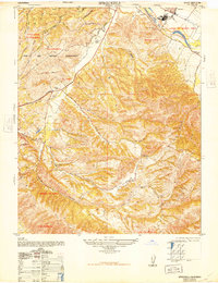
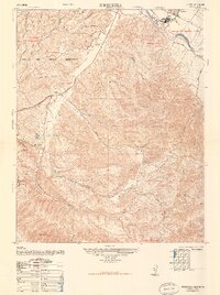
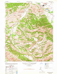
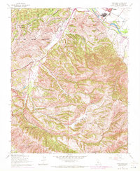
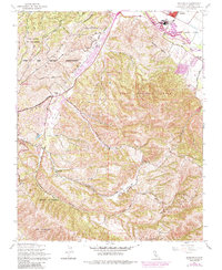
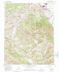
Editions of this 1947 Spreckels Map
8 editions found
Other maps of this area

1910 · Salinas
USGS Topo · 1:31,680

1912 · Salinas
USGS Topo · 1:62,500

1913 · Monterey
USGS Topo · 1:62,500

1918 · Point Sur
USGS Topo · 1:62,500

1920 · Jamesburg
USGS Topo · 1:48,000

1921 · Jamesburg
USGS Topo · 1:62,500

1925 · Point Sur
USGS Topo · 1:62,500

1939 · Jamesburg
USGS Topo · 1:62,500

1940 · Salinas
USGS Topo · 1:62,500

1940 · Jamesburg
USGS Topo · 1:62,500