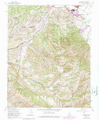
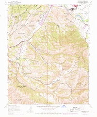
1947 Map of Spreckels
USGS Topo · Published 1986About this map
Spreckels stands as a primary focal point at the bend of the Salinas River, anchored by its industrial and agricultural roots on the Llano de Buena Vista. The landscape transitions sharply from these river-bottom lands into the complex topography of the Fort Ord Military Reservation and the sprawling ridges of Toro Regional Park. Local history is deeply etched into the terrain through family-named landmarks like Guidotti Ranch and Bingaman Ranch, which suggest a long-standing ranching economy in the hinterlands of the Monterey area.
Find a feature on this map
32 named features on this map. Tap any name to fly to it.
Don’t see what you’re looking for? This feature index may not catch every label — zoom into the map to look around manually.
Map Details
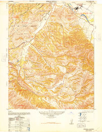
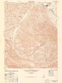
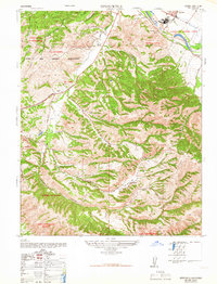
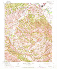
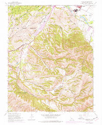
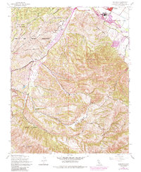
Editions of this 1947 Spreckels Map
8 editions found
Other maps of this area

1910 · Salinas
USGS Topo · 1:31,680

1912 · Salinas
USGS Topo · 1:62,500

1913 · Monterey
USGS Topo · 1:62,500

1918 · Point Sur
USGS Topo · 1:62,500

1920 · Jamesburg
USGS Topo · 1:48,000

1921 · Jamesburg
USGS Topo · 1:62,500

1925 · Point Sur
USGS Topo · 1:62,500

1939 · Jamesburg
USGS Topo · 1:62,500

1940 · Salinas
USGS Topo · 1:62,500

1940 · Jamesburg
USGS Topo · 1:62,500