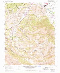
1947 Map of Spreckels
USGS Topo · Published 1984About this map
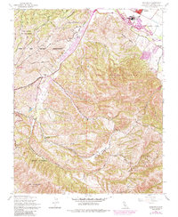
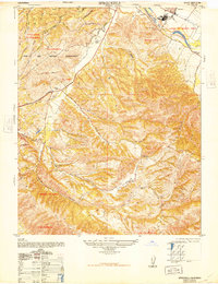
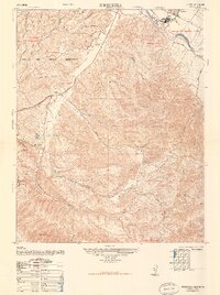
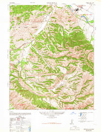
The Salinas River flows through the fertile Llano De Buena Vista in this post-war record of Monterey County, centered on the company town of Spreckels. The map documents a landscape defined by large land grants and ranching heritage, with prominent boundaries for Corral De Tierra and Los Laurelles clearly delineated among the steep coastal ridges. This 1947 survey, later updated with 1980s urban expansion data, shows the proximity of the Fort Ord Military Reservation to emerging recreational spaces like the Laguna Seca Recreation Area.
Find a feature on this map
35 named features on this map. Tap any name to fly to it.
Don’t see what you’re looking for? This feature index may not catch every label — zoom into the map to look around manually.
Map Details
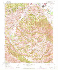
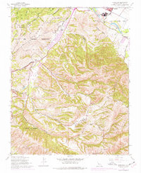
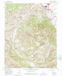
Editions of this 1947 Spreckels Map
8 editions found
Other maps of this area

1910 · Salinas
USGS Topo · 1:31,680

1912 · Salinas
USGS Topo · 1:62,500

1913 · Monterey
USGS Topo · 1:62,500

1918 · Point Sur
USGS Topo · 1:62,500

1920 · Jamesburg
USGS Topo · 1:48,000

1921 · Jamesburg
USGS Topo · 1:62,500

1925 · Point Sur
USGS Topo · 1:62,500

1939 · Jamesburg
USGS Topo · 1:62,500

1940 · Salinas
USGS Topo · 1:62,500

1940 · Jamesburg
USGS Topo · 1:62,500