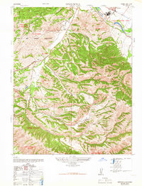
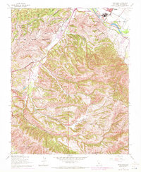
1947 Map of Spreckels
USGS Topo · Published 1966About this map
Industrial activity and ranching define this mid-century landscape along the Salinas River valley. The massive operations of the Spreckels Sugar Co dominate the northeastern corner, complete with its own company town of Spreckels, a series of settling ponds, and a S.P.R.R. rail spurs. This economic hub contrasts with the adjacent military presence of the Fort Ord Military Reservation, which occupies the high ridges of El Toro and El Chamisal.
Find a feature on this map
39 named features on this map. Tap any name to fly to it.
Don’t see what you’re looking for? This feature index may not catch every label — zoom into the map to look around manually.
Map Details
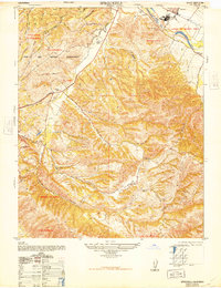
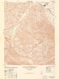
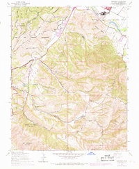
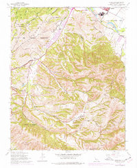
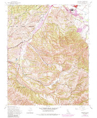
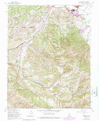
Editions of this 1947 Spreckels Map
8 editions found
Other maps of this area

1910 · Salinas
USGS Topo · 1:31,680

1912 · Salinas
USGS Topo · 1:62,500

1913 · Monterey
USGS Topo · 1:62,500

1918 · Point Sur
USGS Topo · 1:62,500

1920 · Jamesburg
USGS Topo · 1:48,000

1921 · Jamesburg
USGS Topo · 1:62,500

1925 · Point Sur
USGS Topo · 1:62,500

1939 · Jamesburg
USGS Topo · 1:62,500

1940 · Salinas
USGS Topo · 1:62,500

1940 · Jamesburg
USGS Topo · 1:62,500