
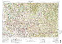
1954 Map of Springfield
USGS Topo · Published 1954About this map
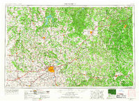
Springfield serves as the focal point for this mid-century study of the southwest Missouri landscape, where the urban center meets the winding river systems of the Ozark Plateau. The map documents a period of significant regional growth, centered on the campus of Southwest Missouri State College and the industrial activity near the St. Louis-San Francisco Railway. To the northeast, the terrain becomes increasingly complex as it transitions into the Mark Twain National Forest and the vast Fort Leonard Wood Military Reservation.
Find a feature on this map
280 named features on this map. Tap any name to fly to it.
Don’t see what you’re looking for? This feature index may not catch every label — zoom into the map to look around manually.
Map Details
Editions of this 1954 Springfield Map
6 editions found
Other maps of this area

1884 · Springfield
USGS Topo · 1:125,000

1884 · Bolivar
USGS Topo · 1:125,000

1886 · Nevada
USGS Topo · 1:125,000

1886 · Stockton
USGS Topo · 1:125,000

1886 · Greenfield
USGS Topo · 1:125,000

1886 · Carthage
USGS Topo · 1:125,000

1886 · Springfield
USGS Topo · 1:125,000

1887 · Clinton
USGS Topo · 1:125,000

1887 · Warsaw
USGS Topo · 1:125,000

1887 · Butler
USGS Topo · 1:125,000