
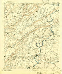
1892 Map of Springville
USGS Topo · Published 1892About this map
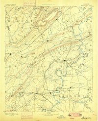
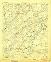
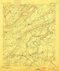
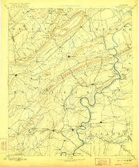
Ashville serves as the central hub of this late 19th-century survey, surrounded by the dramatic ridges of Murphree's Valley and Hines Mountain. The landscape is defined by the strategic movement of people and goods, evidenced by the convergence of the Alabama Great Southern Railroad and the Georgia Pacific Railroad. These iron routes connected emerging industrial centers like Pell City and Springville to the wider region. Along the Coosa River, a network of river crossings including Francis Ferry and Wood's Ferry illustrates the vital water-based economy before the age of modern bridges. Local industry is further detailed by numerous rural landmarks such as Goodwin's Mill and Truss Mill, which anchored small communities across St. Clair and Talladega counties. This era reflects a transition where traditional river commerce and milling began to interface with the rapid expansion of the Southern rail system.
Find a feature on this map
156 named features on this map. Tap any name to fly to it.
Don’t see what you’re looking for? This feature index may not catch every label — zoom into the map to look around manually.
Map Details
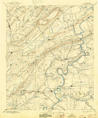
Editions of this 1892 Springville Map
7 editions found
Other maps of this area

1885 · Gadsden
USGS Topo · 1:125,000

1888 · Cullman
USGS Topo · 1:125,000

1888 · Gadsden
USGS Topo · 1:125,000

1889 · Springville
USGS Topo · 1:125,000

1889 · Birmingham
USGS Topo · 1:125,000

1890 · Bessemer
USGS Topo · 1:125,000

1890 · Talladega
USGS Topo · 1:125,000

1891 · Ashland
USGS Topo · 1:125,000

1892 · Cullman
USGS Topo · 1:125,000

1892 · Birmingham
USGS Topo · 1:125,000