
1965 Map of St Joseph
USGS Topo · Published 1967About this map
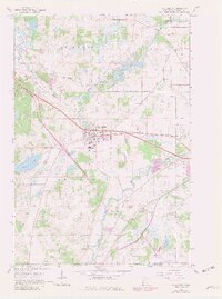
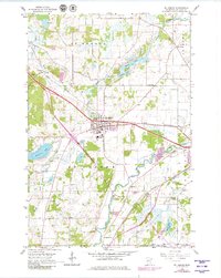
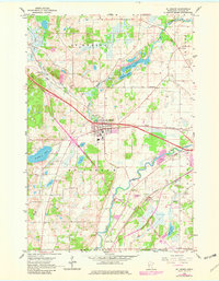
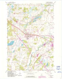
The Sauk River and its various forks define the rural landscape of central Minnesota during the mid-1960s. This survey focuses on the growing settlement of St Joseph and the nearby academic community at Collegeville, capturing the region as the Great Northern railroad still served as a vital transportation artery. The map provides significant detail for genealogists, documenting numerous rural schoolhouses such as School No 2004 and School No 1923, alongside quiet resting places like Stranger Cem and Staples Cem.
Find a feature on this map
31 named features on this map. Tap any name to fly to it.
Don’t see what you’re looking for? This feature index may not catch every label — zoom into the map to look around manually.
Map Details
Editions of this 1965 St Joseph Map
5 editions found
Other maps of this area

1950 · St. Cloud
USGS Topo · 1:62,500

1951 · Annandale
USGS Topo · 1:62,500

1953 · Saint Cloud
USGS Topo · 1:250,000

1957 · Saint Cloud
USGS Topo · 1:250,000

1958 · Saint Cloud
USGS Topo · 1:250,000

1965 · St Stephen
USGS Topo · 1:24,000

1965 · Holdingford
USGS Topo · 1:24,000

1965 · Avon
USGS Topo · 1:24,000

1967 · Cold Spring
USGS Topo · 1:24,000

1967 · Rockville
USGS Topo · 1:24,000