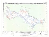
1948 Map of St Lawrence
USGS Topo · Published 1954About this map
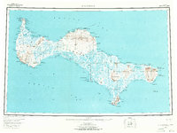
The remote expanse of St. Lawrence Island is documented here following 1943 aerial photography, capturing the Bering Sea outpost during a period of transition for its indigenous communities. Settlements like Gambell and Savoonga anchor the northern coastline, while the interior is crisscrossed by seasonal routes including the Spring Trail to Gambell and the Winter Trail to Savoonga. These trails reflect the vital subsistence patterns of the era, connecting established villages with seasonal outposts such as Siknik Trapping Camp and Ataaka's Camp.
Find a feature on this map
85 named features on this map. Tap any name to fly to it.
Don’t see what you’re looking for? This feature index may not catch every label — zoom into the map to look around manually.
Map Details
Editions of this 1948 St Lawrence Map
7 editions found
Other maps of this area

1948 · St Lawrence
USGS Topo · 1:250,000

1949 · St Lawrence
USGS Topo · 1:250,000

1964 · St Lawrence
USGS Topo · 1:250,000
2020 · Saint Lawrence A-0 NW
USGS Topo · 1:25,000
2020 · Saint Lawrence B-5 NW
USGS Topo · 1:25,000

2020 · Saint Lawrence C-4 NE
USGS Topo · 1:25,000

2020 · Saint Lawrence D-5 SW
USGS Topo · 1:25,000
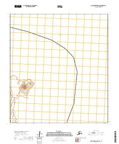
2020 · Saint Lawrence B-0 NE
USGS Topo · 1:25,000

2020 · Saint Lawrence C-4 SE
USGS Topo · 1:25,000
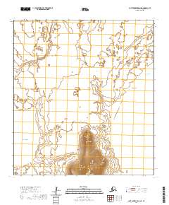
2020 · Saint Lawrence A-2 NE
USGS Topo · 1:25,000