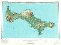
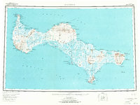
1948 Map of St Lawrence
USGS Topo · Published 1971About this map
St Lawrence Island sits in the Bering Sea, as documented in this mid-century survey. The settlement of Gambell anchors the northwest corner near Northwest Cape and Troutman Lake, while the interior is dominated by the volcanic forms of the Kookooligit Mountains and the elevated Kookooligit Plateau. The landscape is a complex network of seasonal subsistence sites and geological features, including the Kookoolik (Old Village Site) on the northern coast.
Find a feature on this map
129 named features on this map. Tap any name to fly to it.
Don’t see what you’re looking for? This feature index may not catch every label — zoom into the map to look around manually.
Map Details
Editions of this 1948 St Lawrence Map
7 editions found
Other maps of this area

1948 · St Lawrence
USGS Topo · 1:250,000

1949 · St Lawrence
USGS Topo · 1:250,000

1964 · St Lawrence
USGS Topo · 1:250,000
2020 · Saint Lawrence A-0 NW
USGS Topo · 1:25,000
2020 · Saint Lawrence B-5 NW
USGS Topo · 1:25,000

2020 · Saint Lawrence C-4 NE
USGS Topo · 1:25,000

2020 · Saint Lawrence D-5 SW
USGS Topo · 1:25,000
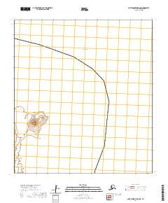
2020 · Saint Lawrence B-0 NE
USGS Topo · 1:25,000

2020 · Saint Lawrence C-4 SE
USGS Topo · 1:25,000
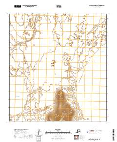
2020 · Saint Lawrence A-2 NE
USGS Topo · 1:25,000