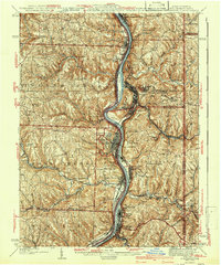
1942 Map of Steubenville
USGS Topo · Published 1942About this map
Steubenville and the Ohio River dominate this 1942 industrial-era landscape, where the confluence of heavy rail and river transport shaped the development of the Tri-State area. The map illustrates a dense corridor of steel-town growth, with extensive rail infrastructure like the Pennsylvania RR and the Cleveland and Pittsburgh Line hugging the riverbanks to serve mills and factories. In addition to major centers like Weirton and Toronto, the survey documents numerous small-scale community features that offer local history insights, including Shady Glen Sch and St John Ch.
Find a feature on this map
76 named features on this map. Tap any name to fly to it.
Don’t see what you’re looking for? This feature index may not catch every label — zoom into the map to look around manually.
Map Details
Editions of this 1942 Steubenville Map
2 editions found
Other maps of this area
1901 · Cadiz
USGS Topo · 1:62,500

1901 · Beaver
USGS Topo · 1:62,500

1902 · Wheeling
USGS Topo · 1:62,500
1903 · Cadiz
USGS Topo · 1:62,500
1904 · Wellsville
USGS Topo · 1:62,500
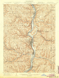
1904 · Steubenville
USGS Topo · 1:62,500

1904 · Beaver
USGS Topo · 1:62,500

1904 · Burgettstown
USGS Topo · 1:62,500

1905 · St. Clairsville
USGS Topo · 1:62,500
1905 · Salineville
USGS Topo · 1:62,500