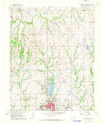
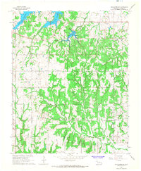
1967 Map of Stillwater North
USGS Topo · Published 1968About this map
Oklahoma State University and the northern residential expansion of Stillwater dominate the southern portion of this mid-century survey. The landscape transitions from the developed academic and municipal core toward the rural reaches of the Noble Co Payne Co border. Centered on the map is the significant water resource of Boomer Lake, flanked by Boomer Lake Park and the Lakeside Golf Course, illustrating the city's mid-century focus on recreation and water management.
Find a feature on this map
25 named features on this map. Tap any name to fly to it.
Don’t see what you’re looking for? This feature index may not catch every label — zoom into the map to look around manually.
Map Details
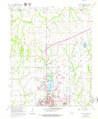
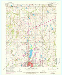
Editions of this 1967 Stillwater North Map
3 editions found
Other maps of this area

1893 · Stillwater
USGS Topo · 1:62,500

1929 · Ripley
USGS Topo · 1:62,500

1930 · Pawnee
USGS Topo · 1:62,500

1932 · Ripley
USGS Topo · 1:62,500

1936 · Pawnee
USGS Topo · 1:62,500

1955 · Enid
USGS Topo · 1:250,000

1958 · Enid
USGS Topo · 1:250,000

1966 · Lake Carl Blackwell
USGS Topo · 1:24,000
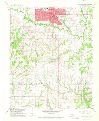
1967 · Stillwater South
USGS Topo · 1:24,000
1967 · Stillwater SW
USGS Topo · 1:24,000