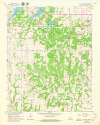
1967 Map of Stillwater SW
USGS Topo · Published 1979About this map
The Indian Meridian serves as a primary north-south baseline for this rural landscape where the Logan and Payne county lines meet. The northern reaches are dominated by the waters of Lake Carl Blackwell, featuring its spillway and several designated trailer parks near the shoreline. This area reflects a mid-century balance between recreational development at the Stillwater Country Club and the persistent oil and gas industry, most notably within the Southeast Paradise Oil Field which is dotted with oil wells and drill holes.
Find a feature on this map
26 named features on this map. Tap any name to fly to it.
Don’t see what you’re looking for? This feature index may not catch every label — zoom into the map to look around manually.
Map Details
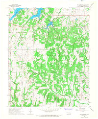
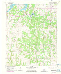
Editions of this 1967 Stillwater SW Map
3 editions found
Other maps of this area

1892 · Guthrie
USGS Topo · 1:62,500

1893 · Mulhall
USGS Topo · 1:62,500

1893 · Stillwater
USGS Topo · 1:62,500

1909 · Perkins
USGS Topo · 1:62,500

1954 · Oklahoma City
USGS Topo · 1:250,000

1955 · Enid
USGS Topo · 1:250,000

1957 · Oklahoma City
USGS Topo · 1:250,000

1958 · Enid
USGS Topo · 1:250,000

1963 · Oklahoma City
USGS Topo · 1:250,000

1966 · Lake Carl Blackwell
USGS Topo · 1:24,000