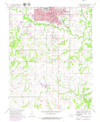
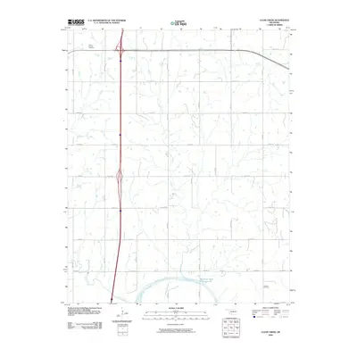
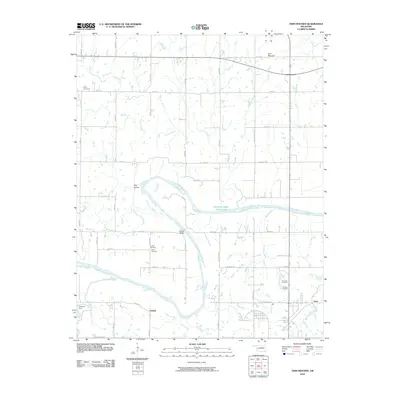
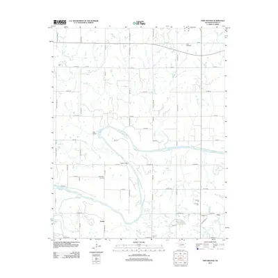
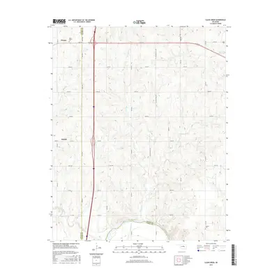
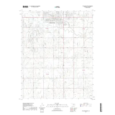
1967 Map of Stillwater SW
USGS Topo · Published 1989About this map
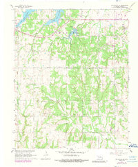
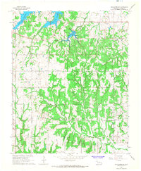
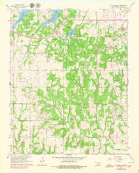
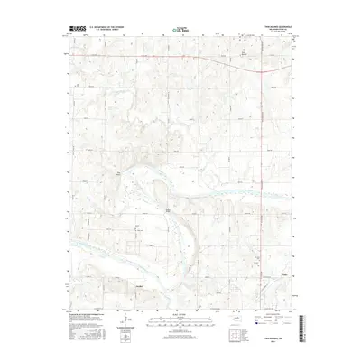
The waters of Lake Carl Blackwell dominate the northwestern landscape of this survey, where Harrington Creek and Hunt Creek feed into the reservoir's fingers. This region of Payne County reflects a mid-century balance between rural life and industrial extraction, most notably within the Southeast Paradise Oil Field and Ramsey Field. The map records several vital community landmarks that serve as essential touchstones for local history, including the settlement of Marena and its associated Marena Cem.
Find a feature on this map
26 named features on this map. Tap any name to fly to it.
Don’t see what you’re looking for? This feature index may not catch every label — zoom into the map to look around manually.
Map Details
Editions of this 1967 Stillwater SW Map
3 editions found
Historical Maps of Stillwater Through Time
36 maps found
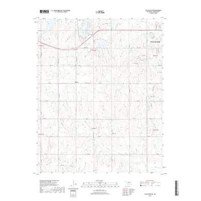
1967 Stillwater North
Payne County, OK
1967 Stillwater South
Payne County, OK
1967 Stillwater SW
Payne County, OK
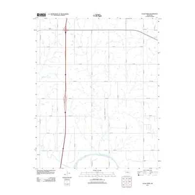
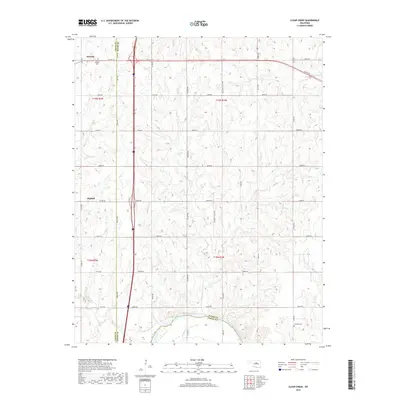
1974 Clear Creek
Payne County, OK
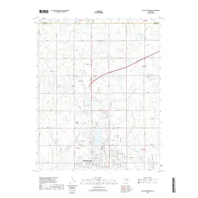
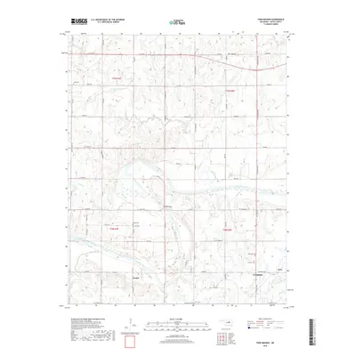
1975 Twin Mounds
Payne County, OK
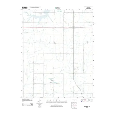
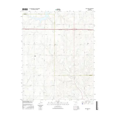
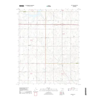
1975 West Point
Payne County, OK
2009 Clear Creek
Payne County, OK
2009 Stillwater North
Payne County, OK
2010 Stillwater South
Payne County, OK
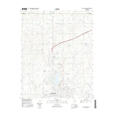
2010 Stillwater SW
Payne County, OK
2010 Twin Mounds
Payne County, OK
2010 West Point
Payne County, OK
2012 Clear Creek
Payne County, OK
2012 Stillwater North
Payne County, OK
2012 Twin Mounds
Payne County, OK
2013 Stillwater South
Payne County, OK
2013 Stillwater SW
Payne County, OK
2013 West Point
Payne County, OK
2016 Clear Creek
Payne County, OK
2016 Stillwater North
Payne County, OK
2016 Stillwater South
Payne County, OK
2016 Stillwater SW
Payne County, OK
2016 Twin Mounds
Payne County, OK
2016 West Point
Payne County, OK
2018 Clear Creek
Payne County, OK
2018 Stillwater North
Payne County, OK
2018 Stillwater South
Payne County, OK
2018 Stillwater SW
Payne County, OK
2018 Twin Mounds
Payne County, OK
2018 West Point
Payne County, OK
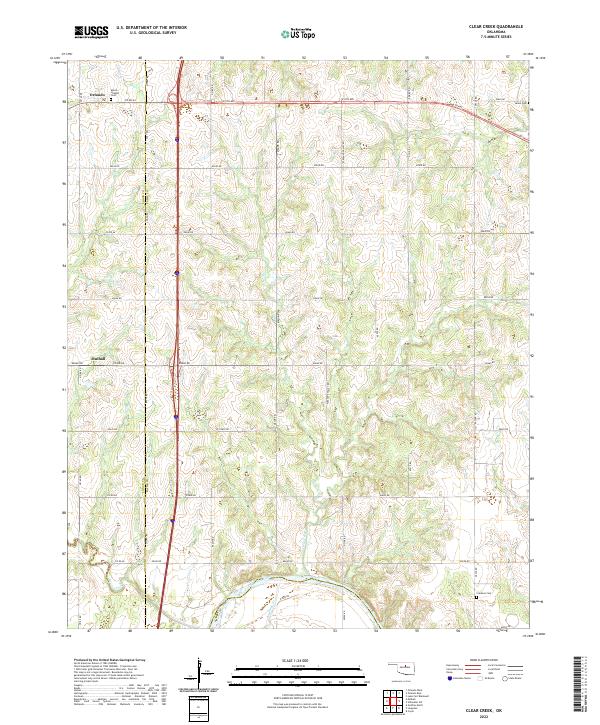
2022 Clear Creek
Payne County, OK
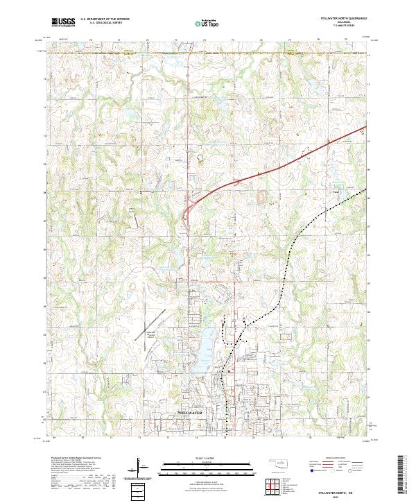
2022 Stillwater North
Payne County, OK
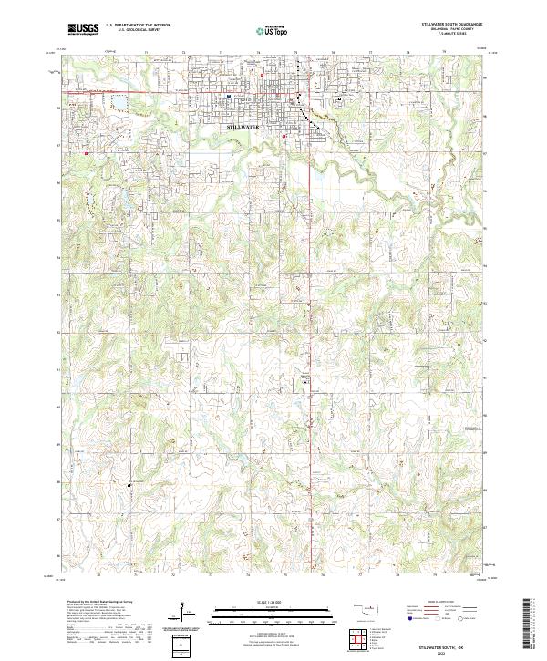
2022 Stillwater South
Payne County, OK
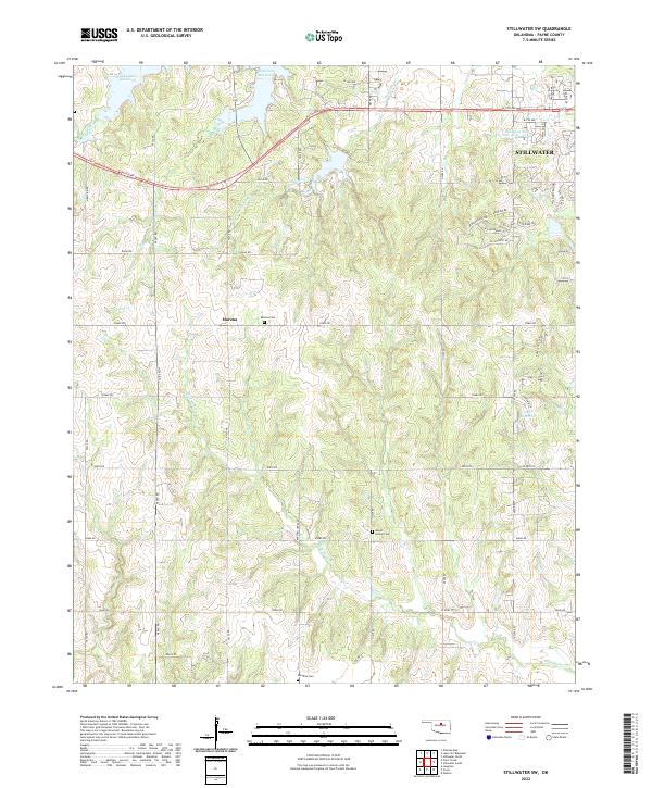
2022 Stillwater SW
Payne County, OK
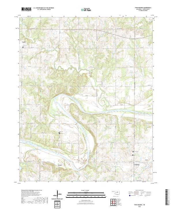
2022 Twin Mounds
Payne County, OK
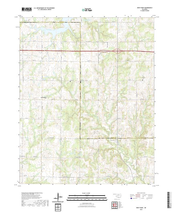
2022 West Point
Payne County, OK