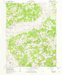
1961 Map of Stockdale
USGS Topo · Published 1975About this map
The Little Scioto River and its numerous tributaries, including McDowell Creek and Buckhorn Creek, define the topography of this southern Ohio landscape. Located at the intersection of Pike, Scioto, and Jackson counties, the area is largely covered by the Wayne National Forest. The map documents a rural economy transitioning from agriculture to resource extraction, evidenced by scattered Claypits, a Gas Well, and several gravel pits. A dense network of country roads, such as White Gravel Road and Yankee Road, connects isolated homesteads and small family burial grounds like the German Cem and Jenkins Cem. The small settlement of Stockdale serves as a local hub, supported by a string of rural congregations including Bethesda Ch, Providence Ch, and Mt Carmel Ch. Local industry and transit are further represented by the C & O RR corridor crossing the northern portion of the quadrangle.
Find a feature on this map
100 named features on this map. Tap any name to fly to it.
Don’t see what you’re looking for? This feature index may not catch every label — zoom into the map to look around manually.
Map Details
Editions of this 1961 Stockdale Map
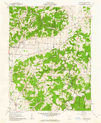
2 editions found
Other maps of this area

1906 · Waverly
USGS Topo · 1:62,500

1908 · Waverly
USGS Topo · 1:62,500

1911 · Sciotoville
USGS Topo · 1:62,500

1912 · Oak Hill
USGS Topo · 1:62,500

1913 · Sciotoville
USGS Topo · 1:62,500

1913 · Jackson
USGS Topo · 1:62,500

1944 · Jackson
USGS Topo · 1:62,500

1947 · Columbus
USGS Topo · 1:250,000

1957 · Huntington
USGS Topo · 1:250,000

1960 · Huntington
USGS Topo · 1:250,000