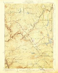
1924 Map of Stoddartsville
USGS Topo · Published 1924About this map
Stoddartsville sits at a sharp bend in the Lehigh River, serving as a central point in this early twentieth-century survey of the Pocono plateau. The landscape is defined by the winding course of the river and Tobyhanna Creek, which flow through a region transitioning from early industry to large-scale land management. Massive tracts are dedicated to the State Game Preserve and the western edge of the Tobyhanna Military Reservation. Local life centers on scattered settlements and rural education, with several mountain schools such as Locust Ridge School, Pine Grove School, and Fishery School serving the small communities of Blakeslee and Clifton. Long-established routes like the White Haven Road and State Highway No 169 provide the primary connections across the high ridges, including Dry Land Hill and Locust Ridge, where the Dry Land Hill Tower provides a key vantage point over the timbered terrain.
Find a feature on this map
92 named features on this map. Tap any name to fly to it.
Don’t see what you’re looking for? This feature index may not catch every label — zoom into the map to look around manually.
Map Details
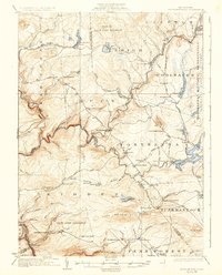
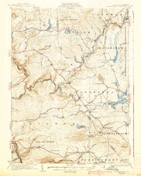
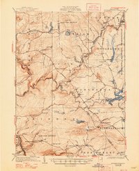
Editions of this 1924 Stoddartsville Map
5 editions found

Other maps of this area

1889 · Scranton
USGS Topo · 1:62,500

1889 · Hazleton
USGS Topo · 1:62,500

1891 · Wilkesbarre
USGS Topo · 1:62,500

1891 · Hazleton
USGS Topo · 1:62,500

1891 · Scranton
USGS Topo · 1:62,500

1893 · Hazleton
USGS Topo · 1:62,500

1893 · Pittston
USGS Topo · 1:62,500

1893 · Scranton
USGS Topo · 1:62,500

1894 · Wilkesbarre
USGS Topo · 1:62,500

1914 · Wind Gap
USGS Topo · 1:62,500
Featured Places
- Clifton Township, PA
- Thornhurst Township, PA
- Kidder Township, PA
- Buck Township, PA
- Pocono Pines, Tobyhanna Township