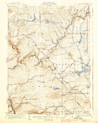
1924 Map of Stoddartsville
USGS Topo · Published 1938About this map
Stoddartsville and the surrounding Poconos plateau define this landscape at a time when the region served as both a critical watershed and a growing recreation destination. The Lehigh River snakes through the center of the sheet, forming the boundary between Luzerne and Monroe counties. The presence of the Wilkes-Barre and Eastern Railroad in the north, passing through Clifton and Bradys Switch, highlights the importance of rail transport for the timber and ice industries that preceded the mid-century resort boom.
Find a feature on this map
92 named features on this map. Tap any name to fly to it.
Don’t see what you’re looking for? This feature index may not catch every label — zoom into the map to look around manually.
Map Details
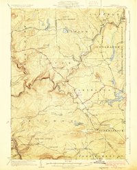
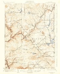
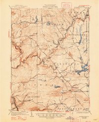
Editions of this 1924 Stoddartsville Map
5 editions found

Other maps of this area

1889 · Scranton
USGS Topo · 1:62,500

1889 · Hazleton
USGS Topo · 1:62,500

1891 · Wilkesbarre
USGS Topo · 1:62,500

1891 · Hazleton
USGS Topo · 1:62,500

1891 · Scranton
USGS Topo · 1:62,500

1893 · Hazleton
USGS Topo · 1:62,500

1893 · Pittston
USGS Topo · 1:62,500

1893 · Scranton
USGS Topo · 1:62,500

1894 · Wilkesbarre
USGS Topo · 1:62,500

1914 · Wind Gap
USGS Topo · 1:62,500
Featured Places
- Clifton Township, PA
- Thornhurst Township, PA
- Kidder Township, PA
- Buck Township, PA
- Pocono Pines, Tobyhanna Township