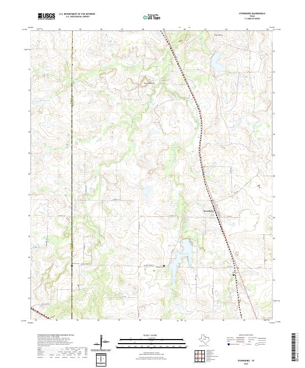
2022 Map of Stoneburg
USGS Topo · Published 2022About this map
Stoneburg sits at the center of this landscape where the north-central Texas prairie meets the drainage basins of several prominent creeks. The geography is defined by a dendritic network of waterways, including W Belknap Cr, Middle Belknap Cr, and Rattlesnake Cr. These streams flow through a terrain marked by distinctive high points such as Double Mounds and Flag Mound. Genealogists and local historians can locate several burial sites concentrated in the southern half of the quadrangle, including Kennedy Cem, Hopewell Cem, and Adora Cem, which provide clues to the early settlement patterns of this rural region.
Find a feature on this map
34 named features on this map. Tap any name to fly to it.
Don’t see what you’re looking for? This feature index may not catch every label — zoom into the map to look around manually.
Map Details
Editions of this 2022 Stoneburg Map
This is the sole edition of this map. No revisions or reprints were ever made.
Other maps of this area

1905 · Montague
USGS Topo · 1:125,000

1954 · Sherman
USGS Topo · 1:250,000

1954 · Wichita Falls
USGS Topo · 1:250,000

1956 · Henrietta
USGS Topo · 1:62,500

1958 · Wichita Falls
USGS Topo · 1:250,000

1958 · Sherman
USGS Topo · 1:250,000

1960 · Buzzard Roost Knob
USGS Topo · 1:24,000

1961 · Stoneburg
USGS Topo · 1:24,000

1961 · Brushy Mound
USGS Topo · 1:24,000

1961 · Bowie
USGS Topo · 1:24,000