
1901 Map of Stonewall
USGS Topo · Published 1901About this map
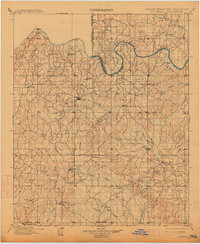
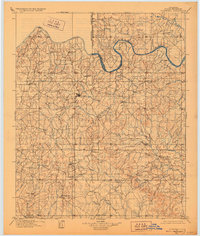
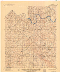
Chickasaw Nation Seminole Nation Boundary Line divides the northeast corner of this territory, where the Canadian River carves a deep loop across the landscape. Surveyed in the late 1890s, the map documents a network of rural settlements and early educational landmarks like the Collins Institute near Stonewall. The geography is defined by a dense web of waterways, including Bois d'Arc Creek, Mill Creek, and the headwaters of Blue Creek, which reveal the irrigation and travel patterns of the era. Larger hubs such as Ada and Roff are already established along the developing road system, while smaller sites like Jesse, Dolberg, and Oakman anchor the agricultural hinterlands. The western edge is clearly marked by the Oklahoma Indian Territory Boundary Line, providing a detailed look at tribal land divisions and early Oklahoma settlement just after the turn of the century.
Find a feature on this map
58 named features on this map. Tap any name to fly to it.
Don’t see what you’re looking for? This feature index may not catch every label — zoom into the map to look around manually.
Map Details
Editions of this 1901 Stonewall Map
4 editions found
Other maps of this area

1896 · Seminole and Prague
USGS Topo · 1:125,000

1896 · Coalgate
USGS Topo · 1:125,000

1898 · Purcell
USGS Topo · 1:125,000

1898 · Pauls Valley
USGS Topo · 1:125,000

1899 · Coalgate
USGS Topo · 1:125,000

1899 · Atoka
USGS Topo · 1:125,000

1900 · Wewoka
USGS Topo · 1:125,000

1900 · Atoka
USGS Topo · 1:125,000

1900 · Coalgate
USGS Topo · 1:125,000

1901 · Tishomingo
USGS Topo · 1:125,000