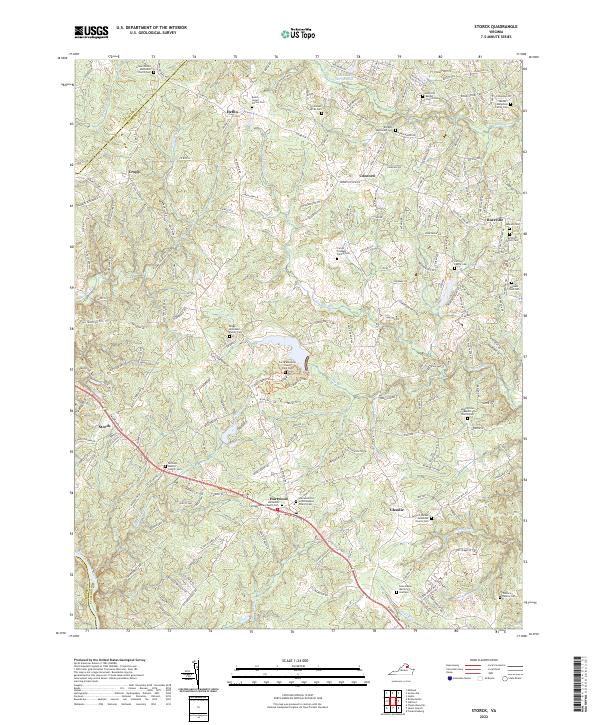
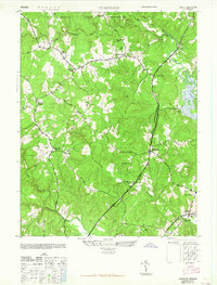
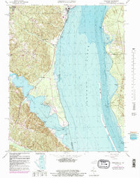
2022 Map of Storck
USGS Topo · Published 2022About this map
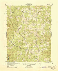
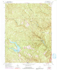
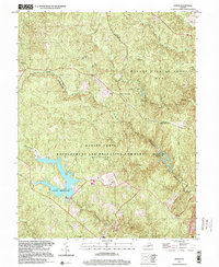
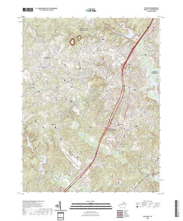
Hartwood and Storck serve as the primary hubs in this part of Stafford County, situated along the diagonal path of Warrenton Road. The landscape is defined by its deep genealogical roots, evidenced by an exceptional density of family-named burial grounds. From the Jacobs-Humphrey Family Cem in the north to the Wallace Family Cem in the south, these small plots are scattered across the headwaters of Potomac Run and Potomac Cr.
Find a feature on this map
205 named features on this map. Tap any name to fly to it.
Don’t see what you’re looking for? This feature index may not catch every label — zoom into the map to look around manually.
Map Details
Editions of this 2022 Storck Map
This is the sole edition of this map. No revisions or reprints were ever made.
Historical Maps of Hartwood Through Time
28 maps found

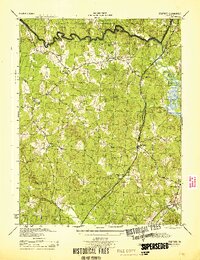
1926 Stafford
Stafford County, VA

1931 Stafford
Stafford County, VA
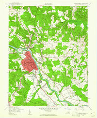
1943 Fredericksburg
Stafford County, VA
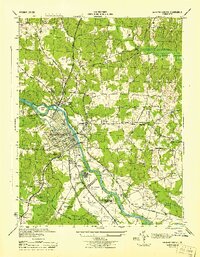
1944 Fredericksburg
Stafford County, VA
1944 Stafford
Stafford County, VA
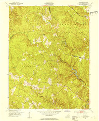
1944 Storck
Stafford County, VA
1944 Widewater
Stafford County, VA
1946 Stafford
Stafford County, VA
1946 Widewater
Stafford County, VA
1951 Joplin
Stafford County, VA
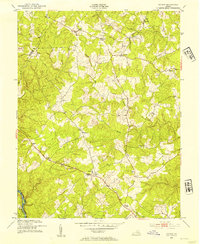
1953 Storck
Stafford County, VA
1957 Joplin
Stafford County, VA
1965 Stafford
Stafford County, VA
1966 Fredericksburg
Stafford County, VA
1966 Joplin
Stafford County, VA
1966 Stafford
Stafford County, VA
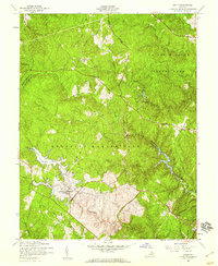
1966 Storck
Stafford County, VA
1966 Widewater
Stafford County, VA
1972 Fredericksburg
Stafford County, VA
1994 Fredericksburg
Stafford County, VA
1994 Stafford
Stafford County, VA
1997 Joplin
Stafford County, VA
1998 Widewater
Stafford County, VA
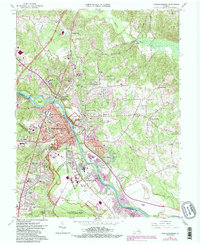
2022 Fredericksburg
Stafford County, VA
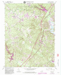
2022 Joplin
Stafford County, VA
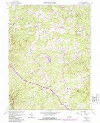
2022 Stafford
Stafford County, VA
2022 Storck
Stafford County, VA
2022 Widewater
Stafford County, VA