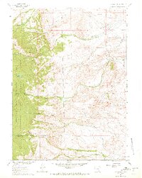
1961 Map of Strouss Hill
USGS Topo · Published 1972About this map
The Overland Trail cuts across the northern landscape of this Wyoming quadrangle, serving as a historic reminder of westward expansion through Carbon and Albany counties. To the west, the Medicine Bow National Forest covers the highland terrain, where isolated water bodies like Lost Lake are tucked into the mountain folds. The area's mid-century ranching and resource economy is visible through dispersed properties such as Manthos Ranch and Dunn Ranch, alongside several oil wells and prospects that dot the drainages of Sevenmile Creek and Fourmile Creek. Water management is prominent in this arid environment, evidenced by the Straus Ditch No 2 and a network of forks feeding into Nellie Cr and Mill Creek. This 1961 field-checked survey reveals a quiet landscape of high-plains topography, defined by landmarks like Strouss Hill and Bunker Hill.
Find a feature on this map
27 named features on this map. Tap any name to fly to it.
Don’t see what you’re looking for? This feature index may not catch every label — zoom into the map to look around manually.
Map Details
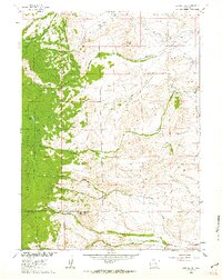
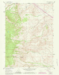
Editions of this 1961 Strouss Hill Map
3 editions found
Other maps of this area

1895 · Laramie
USGS Topo · 1:125,000

1902 · Laramie
USGS Topo · 1:125,000

1905 · Laramie
USGS Topo · 1:125,000

1906 · Medicine Bow
USGS Topo · 1:125,000

1906 · Laramie
USGS Topo · 1:125,000

1908 · Laramie
USGS Topo · 1:125,000

1908 · Medicine Bow
USGS Topo · 1:125,000

1954 · Cheyenne
USGS Topo · 1:250,000

1954 · Rawlins
USGS Topo · 1:250,000

1955 · Big Judson
USGS Topo · 1:24,000