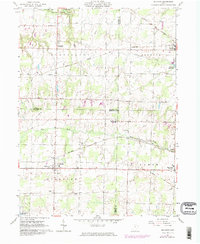
1961 Map of Sullivan
USGS Topo · Published 1974About this map
The Connecticut Western Reserve's historical legacy is evident across this landscape where Ashland, Lorain, and Medina counties meet. The township of Sullivan serves as a local hub, characterized by a concentration of community landmarks like the West Main St Ch and Southview Cem. This mid-century era was defined by a transition from heavy rail reliance to a more diversified rural economy, though the tracks of the Akron Canton and Youngstown Railroad and the Baltimore and Ohio Railroad still cut through the northern and central sections.
Find a feature on this map
36 named features on this map. Tap any name to fly to it.
Don’t see what you’re looking for? This feature index may not catch every label — zoom into the map to look around manually.
Map Details
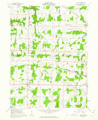
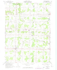
Editions of this 1961 Sullivan Map
3 editions found
Other maps of this area

1904 · Wellington
USGS Topo · 1:62,500

1906 · Wellington
USGS Topo · 1:62,500

1906 · West Salem
USGS Topo · 1:62,500

1908 · Ashland
USGS Topo · 1:62,500

1908 · West Salem
USGS Topo · 1:62,500

1908 · New London
USGS Topo · 1:62,500

1950 · Marion
USGS Topo · 1:250,000

1956 · Toledo
USGS Topo · 1:250,000
1960 · Wellington
USGS Topo · 1:24,000

1960 · Nova
USGS Topo · 1:24,000