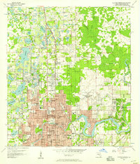
1956 Map of Sulphur Springs
USGS Topo · Published 1957About this map
The Hillsboro River meanders through this mid-century landscape, serving as a focal point for burgeoning suburban development north of Tampa. The area is defined by its numerous water bodies, ranging from the large Lake Magdalene and Lake Carroll to smaller basins like Egypt Lake and Lake Roberta. Significant infrastructure is visible, including the Seaboard Air Line and Atlantic Coast Line railroads, alongside a dense grid of thoroughfares like Nebraska Ave and Florida Ave.
Find a feature on this map
93 named features on this map. Tap any name to fly to it.
Don’t see what you’re looking for? This feature index may not catch every label — zoom into the map to look around manually.
Map Details
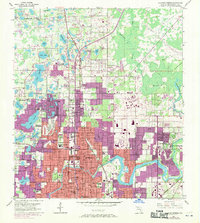
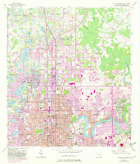
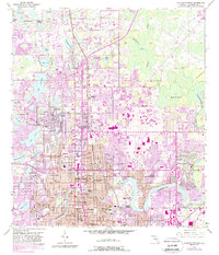
Editions of this 1956 Sulphur Springs Map
4 editions found
Other maps of this area

1921 · Tampa
USGS Topo · 1:62,500

1921 · St Petersburg
USGS Topo · 1:62,500

1943 · Gandy Bridge
USGS Topo · 1:31,680

1943 · Odessa
USGS Topo · 1:24,000

1943 · Thonotosassa
USGS Topo · 1:24,000

1943 · Lutz
USGS Topo · 1:24,000

1944 · Sulphur Springs
USGS Topo · 1:31,680

1944 · Mango
USGS Topo · 1:31,680

1944 · Tampa
USGS Topo · 1:31,680

1944 · Wesley Chapel
USGS Topo · 1:31,680