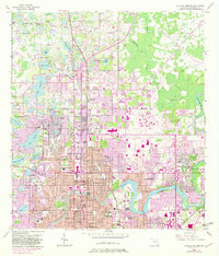
1956 Map of Sulphur Springs
USGS Topo · Published 1982About this map
The Sulphur Springs district and the developing northern reaches of Tampa are the focus of this mid-century topographical record, showing a landscape in rapid transition. While the dense grid of the city pushes northward along Florida Ave, the northern portion of the map reveals the area's original hydrologic character, defined by an immense cluster of named water bodies such as Lake Magdalene, Lake Carroll, and White Trout Lake. The expansion of the suburban footprint is evident in the presence of the University of South Florida and Florida Christian College, set against older rural markers like the Hamner Lookout Tower and Lake Carroll Cem. The winding course of the Hillsborough River anchors Temple Terrace, while the Seaboard Coast Line railroad bisects the growing residential blocks, passing by landmarks like the local Racetrack and Drive-in Theater.
Find a feature on this map
87 named features on this map. Tap any name to fly to it.
Don’t see what you’re looking for? This feature index may not catch every label — zoom into the map to look around manually.
Map Details
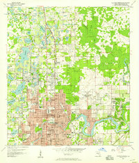
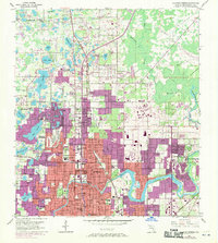
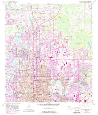
Editions of this 1956 Sulphur Springs Map
4 editions found
Other maps of this area

1921 · Tampa
USGS Topo · 1:62,500

1921 · St Petersburg
USGS Topo · 1:62,500

1943 · Gandy Bridge
USGS Topo · 1:31,680

1943 · Odessa
USGS Topo · 1:24,000

1943 · Thonotosassa
USGS Topo · 1:24,000

1943 · Lutz
USGS Topo · 1:24,000

1944 · Sulphur Springs
USGS Topo · 1:31,680

1944 · Mango
USGS Topo · 1:31,680

1944 · Tampa
USGS Topo · 1:31,680

1944 · Wesley Chapel
USGS Topo · 1:31,680