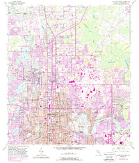
1956 Map of Sulphur Springs
USGS Topo · Published 1988About this map
The Hillsborough River winds through the heart of this mid-century landscape, anchoring the suburban expansion north of Tampa. The settlement of Sulphur Springs features a prominent Racetrack and the scenic Lowry Park along the riverbanks, while the community of Temple Terrace sits to the east near Florida Christian College. This area is defined by an incredible density of freshwater lakes, from Lake Magdalene and Lake Carroll in the west to the cluster of smaller basins like Dorset Lake and Lake Senac.
Find a feature on this map
70 named features on this map. Tap any name to fly to it.
Don’t see what you’re looking for? This feature index may not catch every label — zoom into the map to look around manually.
Map Details
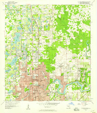
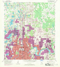
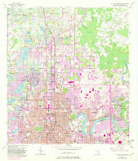
Editions of this 1956 Sulphur Springs Map
4 editions found
Other maps of this area

1921 · Tampa
USGS Topo · 1:62,500

1921 · St Petersburg
USGS Topo · 1:62,500

1943 · Gandy Bridge
USGS Topo · 1:31,680

1943 · Odessa
USGS Topo · 1:24,000

1943 · Thonotosassa
USGS Topo · 1:24,000

1943 · Lutz
USGS Topo · 1:24,000

1944 · Sulphur Springs
USGS Topo · 1:31,680

1944 · Mango
USGS Topo · 1:31,680

1944 · Tampa
USGS Topo · 1:31,680

1944 · Wesley Chapel
USGS Topo · 1:31,680