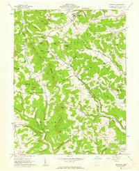
1961 Map of Summithill
USGS Topo · Published 1962About this map
The rolling knobs of the Virginia Military District define this 1961 landscape where Pee Pee Creek and Crooked Creek carve through the Southern Ohio hills. The transport corridor of the Detroit Toledo and Ironton Highway provides the primary artery between Denver and the edge of Waverly, while a high density of family-named peaks like Gundy Knob, Sams Knob, and Lowry Knob indicate a deeply rooted rural community.
Find a feature on this map
66 named features on this map. Tap any name to fly to it.
Don’t see what you’re looking for? This feature index may not catch every label — zoom into the map to look around manually.
Map Details
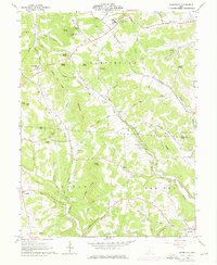
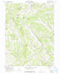
Editions of this 1961 Summithill Map
Other maps of this area

1906 · Waverly
USGS Topo · 1:62,500

1906 · Chillicothe
USGS Topo · 1:62,500

1908 · Chillicothe
USGS Topo · 1:62,500

1908 · Waverly
USGS Topo · 1:62,500

1912 · Roxabell
USGS Topo · 1:62,500

1914 · Roxabell
USGS Topo · 1:62,500

1915 · Piketon
USGS Topo · 1:62,500

1917 · Piketon
USGS Topo · 1:62,500

1944 · Piketon
USGS Topo · 1:62,500

1944 · Roxabell
USGS Topo · 1:62,500