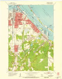
1954 Map of Superior
USGS Topo · Published 1955About this map
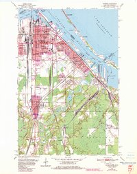
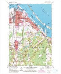
The industrial waterfront of Superior and its various rail-linked districts define this 1954 landscape. The sheet captures the city's complex logistics at mid-century, where the Northern Pacific Railway and Great Northern Railway converge on the Superior Harbor Basin. Settlement patterns are tightly clustered around specialized hubs, from the East End to Billings Park and South Superior. The presence of several distinct burial grounds, including Nemadji Cem and the Hebrew Cemetery, alongside schools like Wisconsin State College and the St Joseph Orphanage, offers significant detail for genealogical research.
Find a feature on this map
93 named features on this map. Tap any name to fly to it.
Don’t see what you’re looking for? This feature index may not catch every label — zoom into the map to look around manually.
Map Details
Editions of this 1954 Superior Map
6 editions found
Other maps of this area

1895 · Duluth
USGS Topo · 1:62,500

1915 · Superior
USGS Topo · 1:48,000

1917 · Superior
USGS Topo · 1:62,500

1949 · Poplar
USGS Topo · 1:48,000

1953 · Lakewood
USGS Topo · 1:24,000

1953 · Duluth
USGS Topo · 1:24,000

1953 · Duluth Heights
USGS Topo · 1:24,000

1953 · Duluth
USGS Topo · 1:62,500

1953 · Ashland
USGS Topo · 1:250,000

1953 · Duluth
USGS Topo · 1:250,000