
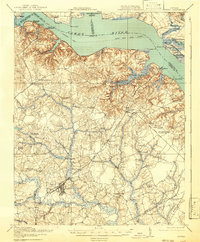
1919 Map of Surry
USGS Topo · Published 1919About this map
The James River and its network of landings and wharves define this tidewater region of Virginia, where a well-established Steamboat Route serves as a primary artery for trade and travel. The riverfront is dotted with historic access points like Claremont Wharf, Judkins Landing, and Cobham Wharf, which supported the agrarian and timber economies of the early twentieth century. Inland, the town of Surry serves as a local hub, connected by the Southern railroad to Dendron and Scotland.
Find a feature on this map
92 named features on this map. Tap any name to fly to it.
Don’t see what you’re looking for? This feature index may not catch every label — zoom into the map to look around manually.
Map Details
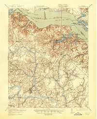
Editions of this 1919 Surry Map
3 editions found
Other maps of this area

1906 · Williamsburg
USGS Topo · 1:62,500

1907 · Yorktown
USGS Topo · 1:62,500

1917 · Toano
USGS Topo · 1:62,500

1918 · Charles City
USGS Topo · 1:62,500

1918 · Toano
USGS Topo · 1:62,500

1919 · Smithfield
USGS Topo · 1:62,500

1919 · Disputanta
USGS Topo · 1:62,500

1919 · Homeville
USGS Topo · 1:48,000

1920 · Ivor
USGS Topo · 1:62,500

1920 · Homeville
USGS Topo · 1:62,500