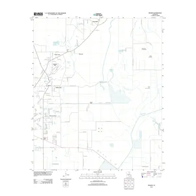
2012 Map of Swartz
USGS Topo · Published 2012About this map
Swartz and its neighboring residential clusters like Audubon Park and Fleetwood Park anchor this Ouachita Parish landscape during the early 2010s. The area is defined by a dense network of local roads and suburban developments that give way to significant water features and low-lying terrain to the east. The expansive Swan Lakebed and the winding course of Bayou Lafourche dominate the eastern half of the map, illustrating the hydrological character of the region.
Find a feature on this map
95 named features on this map. Tap any name to fly to it.
Don’t see what you’re looking for? This feature index may not catch every label — zoom into the map to look around manually.
Map Details
Editions of this 2012 Swartz Map
This is the sole edition of this map. No revisions or reprints were ever made.
Other maps of this area

1935 · Collinston
USGS Topo · 1:62,500

1935 · Alto
USGS Topo · 1:62,500

1935 · Drew
USGS Topo · 1:62,500

1940 · Monroe
USGS Topo · 1:62,500

1955 · Jackson
USGS Topo · 1:250,000

1955 · Shreveport
USGS Topo · 1:250,000

1956 · Shreveport
USGS Topo · 1:250,000

1957 · Monroe North
USGS Topo · 1:62,500

1957 · Mangham
USGS Topo · 1:62,500

1957 · Monroe South
USGS Topo · 1:24,000